Caltrans moved a segment of the state’s celebrated Highway 1 inland by 400 feet to avoid erosion caused by sea level rise.


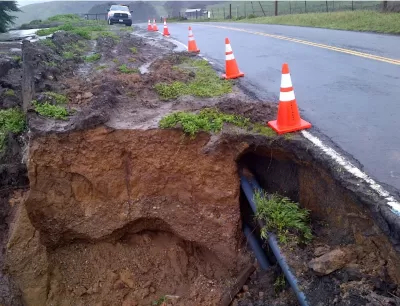
In a first for the California Department of Transportation (Caltrans), the agency moved a Sonoma County highway segment 400 feet inland to protect it from coastal erosion, reports Maggie Fusek in Patch Petaluma. The Gleason Beach Highway Realignment “involved building 4,000 feet of new highway, including an 810-foot, two-lane bridge with a separated pedestrian walkway and 12-foot shoulders to accommodate bicycle travel.”
According to State Sen. Mike McGuire, “This specific segment of Highway 1 has been especially challenging, constantly being undermined by coastal erosion near Scotty Creek.” The project removed a culvert, letting Scotty Creek flow “unimpeded to the ocean, allowing coho salmon and steelhead to swim upstream again to spawn,” and reconnected a wetland previously divided by the old road. “While the advancing ocean was the reason for this project, it would be foolish to imply that nature is our adversary,” said Caltrans Bay Area Director Dina El Tawansy.
Read the full story: CA Highway 1 Moved 400 Feet, Marks 1st Sea-Level Rise Caltrans Project

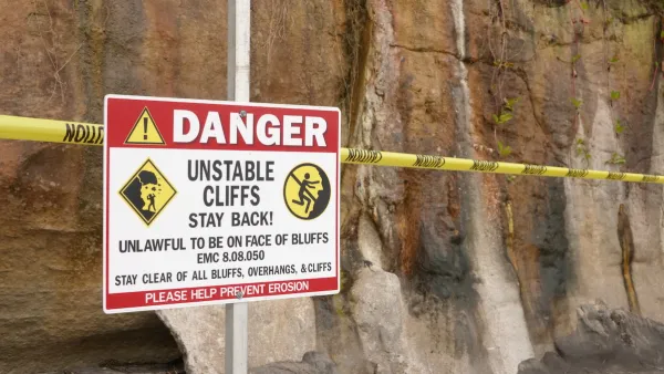
Atlantic Coast Infrastructure at Risk from Sea Level Rise
New research reveals that some coastal areas are sinking by as much as 5 millimeters per year, which could threaten key infrastructure.
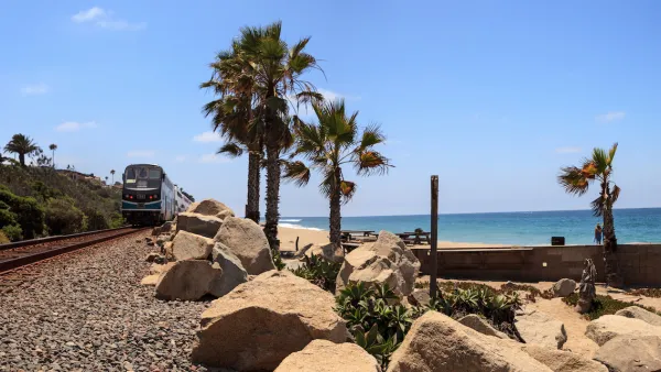
State Leaders Warn of Risks to Southern California Rail Corridor
Coastal erosion and rising sea levels threaten one of the nation’s most scenic—and strategically important—rail corridors.

California State Law Calls on Coastal Regions to Create Resiliency Plans
Cities and counties at risk of flooding and erosion from sea level rise can access state funding to implement coastal resiliency plans.

Planetizen Federal Action Tracker
A weekly monitor of how Trump’s orders and actions are impacting planners and planning in America.

California plans to bury El Niño’s downpour
If the state plays its cards right, it may be able to store a billion acre-feet of El Niño’s water in aquifers.

Chicago breaks ground on $3 billion megadevelopment
The new neighborhood, titled Foundry Park, will one day host 3,700 residences.

California High-Speed Rail Authority CEO resigns after $600,000 scandal
Under Ian Choudri, the authority used taxpayer dollars to fund first class flights and trips to nightclubs.

Want to study the Missouri River? Soon, you may need unanimous approval from 10 states
Legislation would require 10 governors’ permission to study or build projects moving water outside the basin.

Desperate measures: Advocates weigh draining Lake Powell to fill Colorado River
Draining the reservoir could reduce evaporation losses by a couple hundred thousand acre-feet.

FREE Course: Walkable City 1: Why Walkability?
After describing his path towards focusing on walkability as the essence of good planning, Jeff Speck marches through his five principal reasons for making more walkable places.
Reinventing Malls: Planning Alchemy—Turning Gray Fields Into Gold
The course focuses on the opportunities and imperatives that shape reinvention of mall sites.

City of Rosemead
Rutgers University, Edward J. Bloustein School of Planning and Public Policy
One Hundred Miles
Hunter College, City University of New York (CUNY)
The Architects Foundation
University of Cincinnati Online
City of Cambridge
Montrose County
The Pocatello Development Authority