


The app streamlines transit information from the region’s sometimes disjointed public transit system, which covers 13 counties.
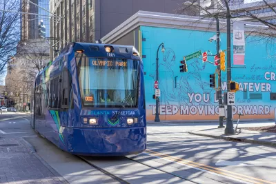
A new mobile phone app will help Atlanta transit riders plan trips throughout the region, writes Josh Green in Urbanize Atlanta.
The app connects services from six regional transit agencies. “ATL officials say the navigation app differentiates itself from others, such as Google Maps, by providing updated route information, including bus and train arrival times, sourced directly from each transit agency. Another feature allows passengers with disabilities to select only wheelchair-accessible routes.”
“The app project was funded by a $20.3 million grant awarded in 2020 from the Federal Transit Administration’s Integrated Mobility Innovation program, with the state providing about $200,000 in matching funds.” Officials say future versions of the app will include paratransit and micromobility options.
FULL STORY: ATL’s first regional-transit trip app launches, called ‘game changer’

76 Projects on Atlanta's Transit Wishlist
The recently formed Atlanta-Region Transit Link Authority released a new regional transit plan.

Minnesota, Vermont Experiment With Rural Trip Planning Websites
Pilot programs in the two states aimed to make transit information more accessible for riders in rural areas, where on-demand and microtransit services make trip planning more complex.
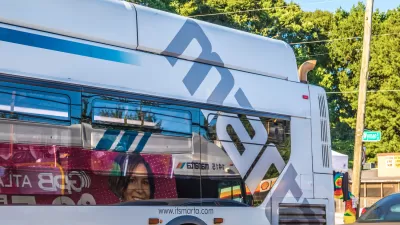
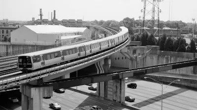
Atlanta’s First Bus Rapid Transit Route to Break Ground This Week
Officials in the city of Atlanta are planning a groundbreaking ceremony this week for the Metropolitan Atlanta Rapid Transit Authority’s first bus rapid transit line.

Maui's Vacation Rental Debate Turns Ugly
Verbal attacks, misinformation campaigns and fistfights plague a high-stakes debate to convert thousands of vacation rentals into long-term housing.

Planetizen Federal Action Tracker
A weekly monitor of how Trump’s orders and actions are impacting planners and planning in America.

In Urban Planning, AI Prompting Could be the New Design Thinking
Creativity has long been key to great urban design. What if we see AI as our new creative partner?

How Trump's HUD Budget Proposal Would Harm Homelessness Response
Experts say the change to the HUD budget would make it more difficult to identify people who are homeless and connect them with services, and to prevent homelessness.

The Vast Potential of the Right-of-Way
One writer argues that the space between two building faces is the most important element of the built environment.

Florida Seniors Face Rising Homelessness Risk
High housing costs are pushing more seniors, many of them on a fixed income, into homelessness.
Urban Design for Planners 1: Software Tools
This six-course series explores essential urban design concepts using open source software and equips planners with the tools they need to participate fully in the urban design process.
Planning for Universal Design
Learn the tools for implementing Universal Design in planning regulations.
Gallatin County Department of Planning & Community Development
Heyer Gruel & Associates PA
JM Goldson LLC
City of Camden Redevelopment Agency
City of Astoria
Transportation Research & Education Center (TREC) at Portland State University
Jefferson Parish Government
Camden Redevelopment Agency
City of Claremont