


The proposed network would improve connectivity between the area's existing bikeways and increase access to regional job centers.
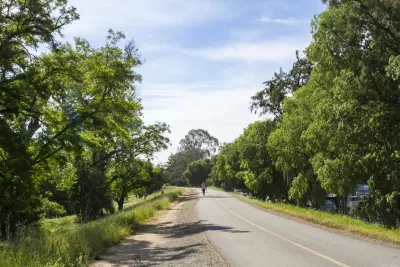
The Sacramento Area Council of Governments (SACOG) is starting public outreach for a project that would create an interconnected network of bikeways in the region, reports Tony Bizjak in the Sacramento Bee.
An online survey asks local residents to "submit their bike travel interests" to help the agency formulate a plan for the bike network. "The region already has a disconnected patchwork of off-street biking corridors that will serve as a starting point. It includes the 32-mile American River Bike Trail, the off-street bike trail systems in Folsom and Davis. There are also levee-top and creekside trails around the region and the blustery Yolo Causeway bike path that connects Davis with West Sacramento." Additional bike projects are in the works in Sacramento, Citrus Heights, and Orangevale.
"SACOG plans this summer to design a better-linked system that fills in the blanks and will make it easier and safer to travel on bikes - both for long and short rides." Connecting the region would require an estimated additional 300 miles of trail. "The plan would make it easier for cities to win funding for more localized bike routes, such as one in Yuba City and Marysville that would take advantage of an unused Union Pacific rail corridor to link residential areas, shopping districts, parks, medical facilities, and offices." The plan would also focus on ensuring equity in bike infrastructure and improving safety for cyclists in densely packed central business districts.
FULL STORY: Sacramento region planning a bike ‘freeway’ system linking cities and neighborhoods

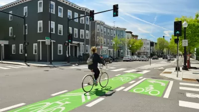
Cleveland to Boost Bike Safety With New Bike Lanes, School Programs
The program, using curriculum created by Cleveland Bikes, is part of a broader effort to improve safety along school routes.
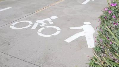
NACTO Releases Updated Urban Bikeway Guide
The third edition of the nationally recognized road design guide includes detailed design advice for roads that prioritize safety and accessibility for all users.
California Bill Promotes ‘Quick-Build’ Road Safety Solutions
The bill is part of an effort to reverse entrenched patterns in traffic engineering and speed up the adoption of safer infrastructure for people walking and biking.

Maui's Vacation Rental Debate Turns Ugly
Verbal attacks, misinformation campaigns and fistfights plague a high-stakes debate to convert thousands of vacation rentals into long-term housing.

Planetizen Federal Action Tracker
A weekly monitor of how Trump’s orders and actions are impacting planners and planning in America.

Chicago’s Ghost Rails
Just beneath the surface of the modern city lie the remnants of its expansive early 20th-century streetcar system.

Bend, Oregon Zoning Reforms Prioritize Small-Scale Housing
The city altered its zoning code to allow multi-family housing and eliminated parking mandates citywide.

Amtrak Cutting Jobs, Funding to High-Speed Rail
The agency plans to cut 10 percent of its workforce and has confirmed it will not fund new high-speed rail projects.

LA Denies Basic Services to Unhoused Residents
The city has repeatedly failed to respond to requests for trash pickup at encampment sites, and eliminated a program that provided mobile showers and toilets.
Urban Design for Planners 1: Software Tools
This six-course series explores essential urban design concepts using open source software and equips planners with the tools they need to participate fully in the urban design process.
Planning for Universal Design
Learn the tools for implementing Universal Design in planning regulations.
planning NEXT
Appalachian Highlands Housing Partners
Mpact (founded as Rail~Volution)
City of Camden Redevelopment Agency
City of Astoria
City of Portland
City of Laramie