


Like many American cities, the site of white supremacist unrest in 2017 has a long history of residential discrimination by race. This mapping project seeks to uncover the roots of today's disparities.
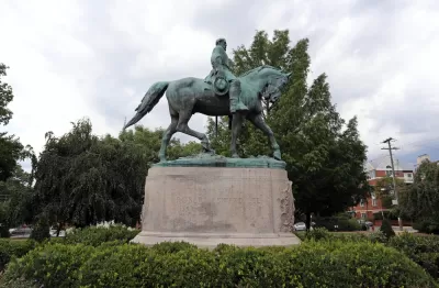
Following white supremacist demonstrations that shook the nation in 2017, Zoe Sullivan writes, "the Charlottesville Area Community Foundation created the Heal Charlottesville Fund. In 2018, that fund awarded nearly one million dollars to organizations and initiatives aimed at addressing systemic racism." One of this grants went to Mapping C'Ville, an ambitious effort to chart out just how racial convents discriminated against black homebuyers.
The project's creator Jordy Yager points to economist Raj Chetty's Opportunity Atlas, which ranked Charlottesville low in terms of residents' ability to escape poverty over their lifetimes. That indicates a "structural problem," Yager said. He went on, "your environment, where you live, is the number one predictor of what happens to you in life. If where we live determines what happens to you in life, why do we live where we live?"
Mapping C'Ville has over 100 volunteers reviewing over 300,000 digitized property records and entering them into a searchable database. In addition to revealing the extent and effects of racial covenants, the project is also delving into how residential discrimination dovetails with infrastructural inequities and chronic underinvestment in black neighborhoods.
FULL STORY: Mapping Project Aims to Shed Light on Racial Covenants in Charlottesville


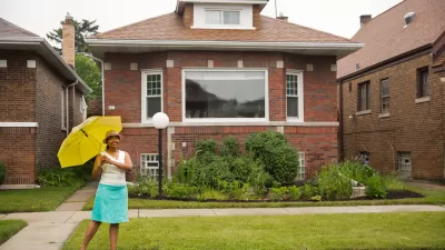
The History of Racial Zoning and Housing Discrimination in the US
More than a century of discriminatory housing policy divided cities and contributed to the racial wealth gap and other social and economic inequities.
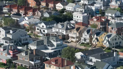
The Numerous Obstacles—Past and Present—Facing Black Homeowners
Black Americans pay a higher price to be homeowners—and the number of those who can afford to pay that price is dropping quickly.
Reporters Go Undercover to Identify Housing Discrimination
A three-year investigation of the real estate industry on Long Island reveals rampant discriminatory practices and an industry complicit in the segregation of the communities that comprise the region.

Planetizen Federal Action Tracker
A weekly monitor of how Trump’s orders and actions are impacting planners and planning in America.

Maui's Vacation Rental Debate Turns Ugly
Verbal attacks, misinformation campaigns and fistfights plague a high-stakes debate to convert thousands of vacation rentals into long-term housing.

Restaurant Patios Were a Pandemic Win — Why Were They so Hard to Keep?
Social distancing requirements and changes in travel patterns prompted cities to pilot new uses for street and sidewalk space. Then it got complicated.

In California Battle of Housing vs. Environment, Housing Just Won
A new state law significantly limits the power of CEQA, an environmental review law that served as a powerful tool for blocking new development.

Boulder Eliminates Parking Minimums Citywide
Officials estimate the cost of building a single underground parking space at up to $100,000.

Orange County, Florida Adopts Largest US “Sprawl Repair” Code
The ‘Orange Code’ seeks to rectify decades of sprawl-inducing, car-oriented development.
Urban Design for Planners 1: Software Tools
This six-course series explores essential urban design concepts using open source software and equips planners with the tools they need to participate fully in the urban design process.
Planning for Universal Design
Learn the tools for implementing Universal Design in planning regulations.
Heyer Gruel & Associates PA
JM Goldson LLC
Custer County Colorado
City of Camden Redevelopment Agency
City of Astoria
Transportation Research & Education Center (TREC) at Portland State University
Jefferson Parish Government
Camden Redevelopment Agency
City of Claremont