


For six years, New Orleans police have been using a secret program that uses social media to locate violent criminals.
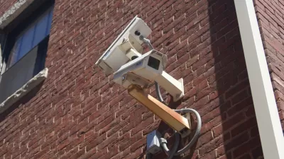
A program from Peter Theil's Palantir has been used by New Orleans cops for six years to try to predict which people are likely to have been involved in violent crimes. The program may have been controversial, but it was unknown to the public until a report published in The Verge uncovered its use. "The program, like a similar program in Chicago, pulls information from a variety of law enforcement databases and social media networks, and draws up a list of people most likely to be involved in violent crime," Tanvi Misra reports for CityLab.
If the existence of the Palantir program were public knowledge, civil rights advocates might have protested the possibility for automated discrimination. "Cities across the U.S. are adopting new surveillance technologies and algorithms without any public input or oversight," Misra writes. To address this the ACLU has been advocating for public hearings for these new technologies, so that citizens can have some say in how they are policed.
FULL STORY: The Local Movement to Curb Big Brother


2020 Population Growth Rates for the 50 Biggest U.S. Cities
The Census Bureau released new data on May 27 that includes the first four months of the pandemic. Seattle tops the growth rate at 2.2% from July 1, 2019, to July 1, 2020, while Baltimore and San Francisco land at the bottom with -1.4%.
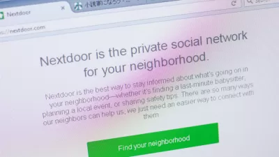
Nextdoor Getting Cozy With Local Officials
CityLab investigates the practices of company officials at Nextdoor to cultivate relationships with police and local officials.

New Orleans 'Smart City' Program Would Install Video Cameras in Public
The video cameras would be used to collect data on street light outages, but could also potentially used by police in the city's crime surveillance program.

Planetizen Federal Action Tracker
A weekly monitor of how Trump’s orders and actions are impacting planners and planning in America.

Restaurant Patios Were a Pandemic Win — Why Were They so Hard to Keep?
Social distancing requirements and changes in travel patterns prompted cities to pilot new uses for street and sidewalk space. Then it got complicated.

Map: Where Senate Republicans Want to Sell Your Public Lands
For public land advocates, the Senate Republicans’ proposal to sell millions of acres of public land in the West is “the biggest fight of their careers.”

Maui's Vacation Rental Debate Turns Ugly
Verbal attacks, misinformation campaigns and fistfights plague a high-stakes debate to convert thousands of vacation rentals into long-term housing.

San Francisco Suspends Traffic Calming Amidst Record Deaths
Citing “a challenging fiscal landscape,” the city will cease the program on the heels of 42 traffic deaths, including 24 pedestrians.

California Homeless Arrests, Citations Spike After Ruling
An investigation reveals that anti-homeless actions increased up to 500% after Grants Pass v. Johnson — even in cities claiming no policy change.
Urban Design for Planners 1: Software Tools
This six-course series explores essential urban design concepts using open source software and equips planners with the tools they need to participate fully in the urban design process.
Planning for Universal Design
Learn the tools for implementing Universal Design in planning regulations.
Heyer Gruel & Associates PA
JM Goldson LLC
Custer County Colorado
City of Camden Redevelopment Agency
City of Astoria
Transportation Research & Education Center (TREC) at Portland State University
Camden Redevelopment Agency
City of Claremont
Municipality of Princeton (NJ)