


California has commenced new water use reporting requirements, which the Pacific Institute has compiled into an interactive map and database to provide accessible evidence about where the state's water goes.
"A new web app from the Pacific Institute shows how different California cities are responding to the ongoing drought. This web feature brings to life newly-released data on urban water use, and allows users to explore trends and patterns in that use," according to a post on the Pacific Institute's website.
The database is made possible by requirements dating back to July 2014 requiring urban water utilities with more than 3,000 customers to report water use each month. "These new data show total urban water use, as well as residential water use, i.e., the estimated portion used by residents in and around their homes."
As explained by the Pacific Institute, the database and map allows users to pose and answer questions about urban water use. "For example, why is water use higher or lower in some areas? How have cities responded to Governor Jerry Brown’s call to reduce their water use by 20 percent? Have high water users had more success at conservation than areas where water use was already low?"
FULL STORY: Interactive Map of California’s Urban Water Use


Californians Struggle To Cut Water Use
The state is slowly starting to curb water consumption, but progress has been ‘disappointingly slow’ as water supplies across the West diminish to historic lows.

Using Artificial Intelligence to Map Telecommuting Prevalence
In the Philadelphia region, residents of wealthier neighborhoods will be more likely to work from home in the future, thus altering travel patterns and transit usage, according to a new mapping project powered by artificial intelligence (AI).
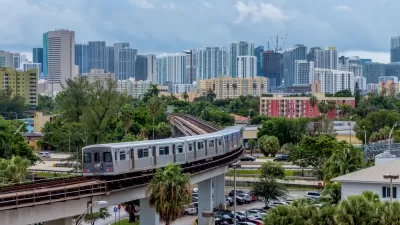
New Tool Puts Miami Development Opportunities on the Map
There's plenty of vacant or underutilized land to be found in Miami-Dade County, if you know where and how to look.

Maui's Vacation Rental Debate Turns Ugly
Verbal attacks, misinformation campaigns and fistfights plague a high-stakes debate to convert thousands of vacation rentals into long-term housing.

Planetizen Federal Action Tracker
A weekly monitor of how Trump’s orders and actions are impacting planners and planning in America.

San Francisco Suspends Traffic Calming Amidst Record Deaths
Citing “a challenging fiscal landscape,” the city will cease the program on the heels of 42 traffic deaths, including 24 pedestrians.

Defunct Pittsburgh Power Plant to Become Residential Tower
A decommissioned steam heat plant will be redeveloped into almost 100 affordable housing units.

Trump Prompts Restructuring of Transportation Research Board in “Unprecedented Overreach”
The TRB has eliminated more than half of its committees including those focused on climate, equity, and cities.

Amtrak Rolls Out New Orleans to Alabama “Mardi Gras” Train
The new service will operate morning and evening departures between Mobile and New Orleans.
Urban Design for Planners 1: Software Tools
This six-course series explores essential urban design concepts using open source software and equips planners with the tools they need to participate fully in the urban design process.
Planning for Universal Design
Learn the tools for implementing Universal Design in planning regulations.
Heyer Gruel & Associates PA
JM Goldson LLC
Custer County Colorado
City of Camden Redevelopment Agency
City of Astoria
Transportation Research & Education Center (TREC) at Portland State University
Jefferson Parish Government
Camden Redevelopment Agency
City of Claremont