After a 2016 Texas Department of Transportation plan put forward a vision for a more walkable and dense city, TxDOT is still looking to expand I-30, a project that contradicts many of the forward-thinking ideas in that plan.


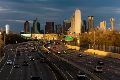
In a piece for D Magazine, Peter Simek argues that Dallas is a victim of overbuilt freeways that stratified the city and trapped many of its citizens in traffic. Simek writes, "Engineers at the agency have designed an I-30 expansion that doubles down on the same city-destroying mistakes of the past." In particular, the added capacity would pull people out of the city center and East Dallas. "The added or expanded frontage roads, widened overpasses, exit ramps, and surface streets will increase the speed of traffic through the neighborhoods adjacent to the highway," Simek writes.
Simek posits that the whole project is out of step with the internal goals of TxDOT. A 2016 plan called CityMAP outlined ways to make the city denser and more walkable. "If this newly engineered I-30 were constructed, many of the potential benefits laid out by the CityMAP study would be squandered," Simek writes.
FULL STORY: TxDOT’s Secret Plan to Destroy Downtown Dallas

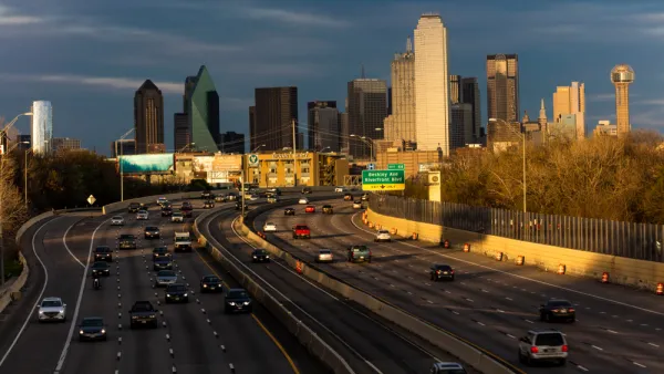
The City of Dallas Rejects the State of Texas on Plans to Widen Interstate 30
A plan to widen the Interstate 30 in Dallas is pitting state transportation officials, with ostensible goals to serve regional transportation needs, against local officials, who are more concerned with "neighborhood-centric ideals."
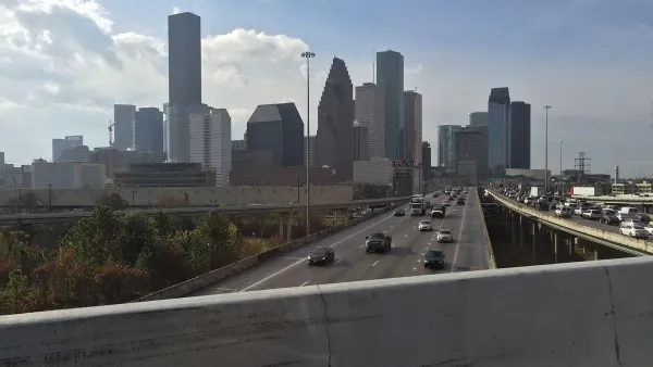
Contentious Houston Freeway Widening Project Inches Forward
Federal officials have given TxDOT the go-ahead to resume work on a small portion of a controversial interstate widening project in downtown Houston.
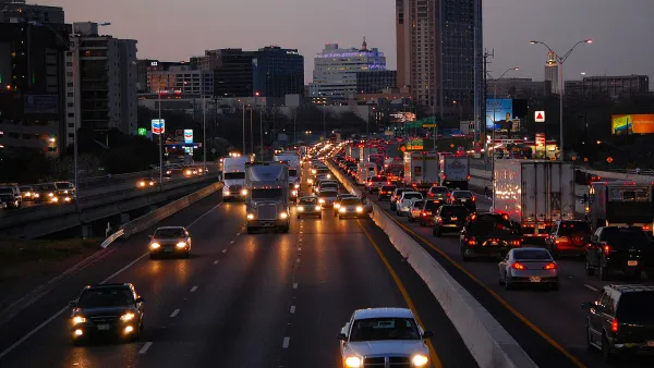
Austin Leaders Denounce 20-Lane Freeway Project
TxDOT is pushing ahead with plans for a massive freeway expansion project through downtown Austin despite opposition from virtually all local leaders.

Planetizen Federal Action Tracker
A weekly monitor of how Trump’s orders and actions are impacting planners and planning in America.

The state-sanctioned urbicide of Austin
People don’t kill cities. Freeways do.

US to reduce Colorado River water deliveries to Mexico
A new Colorado Treaty amendment reduces Mexico’s Colorado River water allocation by 250,000 acre feet.

5 New England states march closer to 800 megawatt wind energy project
Securing federal approval for the project may be complicated under the Trump administration, which has historically been hostile towards domestic wind power.

Baltimore to break ground on $50 million Transit Priority Project
The project will bring faster bus trips, safer streets and better bike connections to Baltimore.

Airbnb launches $250 million 'last-dollar financing' housing accelerator, makes first investment in Austin
The company will put $6.4 million towards affordable housing development in Texas’ capital.

FREE Course: Walkable City 1: Why Walkability?
After describing his path towards focusing on walkability as the essence of good planning, Jeff Speck marches through his five principal reasons for making more walkable places.
Reinventing Malls: Planning Alchemy—Turning Gray Fields Into Gold
The course focuses on the opportunities and imperatives that shape reinvention of mall sites.

Eagle County Government
Harvard University Graduate School of Design
Nashville Planning Department
The Architects Foundation
University of Cincinnati Online
The Pocatello Development Authority
The Urban Renewal Agency of the City of Pocatello
Journal of the American Planning Association