The most recent post-Harvey proposal would mean the city could endure enormous rain events, but so far it's not clear who would pay for it.


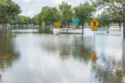
Nearly seven months after Hurricane Harvey spilled 50 inches of water onto the Gulf Coast of Texas, the Harris County Flood Control District has proposed building "massive, underground tunnels to carry flood waters from several Houston-area bayous toward the Houston Ship Channel."
Houston was plagued by flooding long before Harvey, so this multi-billion-dollar project would be in addition to plans to make the bayous more flood-proof that were in the works long before Harvey, and which have been expedited in the wake of the storm.
Those projects have all been partnerships between the HCFCD and the U.S. Army Corps of Engineers; so far it's not clear who would pay for the new tunnel project, but director of operations tells the Houston Chronicle "the district hopes to work with the Federal Emergency Management Agency and the state to possibly help pay for it."
Houston has given a great deal of consideration to flood control since the biggest flooding event in its history; the city is redrawing the flood maps, rethinking flood insurance, and considering more green infrastructure to manage stormwater in the future.
FULL STORY: Flood control district exploring plan to build massive tunnels to carry away stormwater

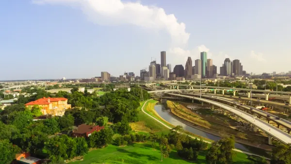
Harris County Will Use Toll Road Revenue to Pay for Flood Control
A new Flood Resilience Trust will create a permanent source of funding for flood control purposes, but the county still faces a shortfall for planned projects.
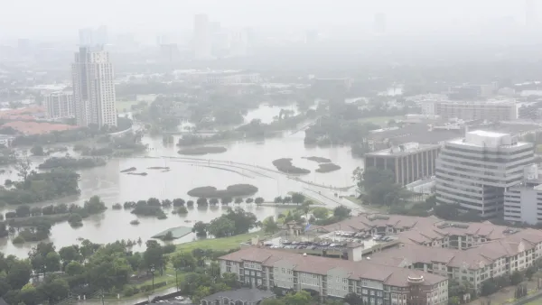
Houston Seriously Tightens Rules on Floodplain Construction
It was the city's "first major regulatory response" to Hurricane Harvey.
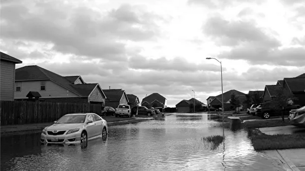
After Harvey, Texas Tries State-Run Disaster Relief, With Mixed Results
The scale of the housing recovery effort means some jobs normally handles by FEMA have fallen to the Texas General Land Office.

Planetizen Federal Action Tracker
A weekly monitor of how Trump’s orders and actions are impacting planners and planning in America.

The state-sanctioned urbicide of Austin
People don’t kill cities. Freeways do.

US to reduce Colorado River water deliveries to Mexico
A new Colorado Treaty amendment reduces Mexico’s Colorado River water allocation by 250,000 acre feet.

Mamdani overhauls NYC's Vision Zero plan with 100 new policy goals
The overhaul aims to reduce traffic deaths and make streets safer for pedestrians, cyclists and drivers through lower speed limits, new safety infrastructure and more.

Amtrak not solely to blame for New Jersey commuter rail's unreliability, report finds
A new study from the Garden State Initiative found that NJ Transit’s budget grew 20% across a 4 year period, but reliability declined significantly over the same period.

EPA erases limits on planet-warming pollution from power plants
Under Monday’s plan, power plants would still have some limits on how much mercury, arsenic and other contaminants they can emit.

FREE Course: Walkable City 1: Why Walkability?
After describing his path towards focusing on walkability as the essence of good planning, Jeff Speck marches through his five principal reasons for making more walkable places.
Reinventing Malls: Planning Alchemy—Turning Gray Fields Into Gold
The course focuses on the opportunities and imperatives that shape reinvention of mall sites.

Eagle County Government
Harvard University Graduate School of Design
Nashville Planning Department
The Architects Foundation
University of Cincinnati Online
The Pocatello Development Authority
The Urban Renewal Agency of the City of Pocatello
Journal of the American Planning Association