


One artist capitalized on the quirks of Seattle's street grid.
The poster "[depicts] 20 of the city’s complicated street crossings with minimalistic graphics. They range from Queen Anne’s seven-way stop to the busy meeting of Denny Way, Stewart Street and Yale Avenue near South Lake Union." Every street grid goes a little off-kilter, and Seattle is no exception.
Since Gorman posted them on his Etsy shop, Barely Maps, the posters have picked up a level of Internet fame not common among applications of transportation wonkery. Lee shares some of Gorman's insight about how the idea about the poster came to him, how the poster has sold lately, and the some statistics and reporting on the state of the city's streets.
The description of the map on the Barely Maps Etsy shop puts the joke behind the map pretty well: "When I first moved to Seattle, a friend told me that Seattle's layout is easy to understand. 'It's all a grid,' she said, 'until it's not.'"
FULL STORY: The artist behind the viral image of Seattle’s wacky intersections

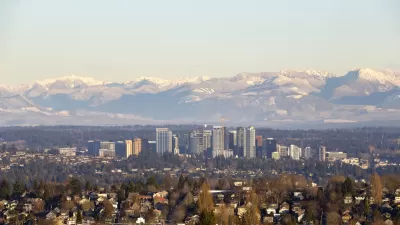
Mapping the Pacific Northwest's Changing Population
The Oregonian has published a new interactive mapping feature that allows users to map demographic changes to the Census tract level through Oregon and Washington.
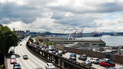
Friday Eye Candy: Painting to Memorialize Seattle's Alaskan Way Viaduct
Finding beauty, and questions, in the concrete.
A Never-Ending Map Of Imaginary Cities
Artist spends decades creating an always-growing hand-drawn paper map of an imaginary place. Development is determined by drawing a random card from a custom deck of cards.

Planetizen Federal Action Tracker
A weekly monitor of how Trump’s orders and actions are impacting planners and planning in America.

Maui's Vacation Rental Debate Turns Ugly
Verbal attacks, misinformation campaigns and fistfights plague a high-stakes debate to convert thousands of vacation rentals into long-term housing.

San Francisco Suspends Traffic Calming Amidst Record Deaths
Citing “a challenging fiscal landscape,” the city will cease the program on the heels of 42 traffic deaths, including 24 pedestrians.

Amtrak Rolls Out New Orleans to Alabama “Mardi Gras” Train
The new service will operate morning and evening departures between Mobile and New Orleans.

The Subversive Car-Free Guide to Trump's Great American Road Trip
Car-free ways to access Chicagoland’s best tourist attractions.

San Antonio and Austin are Fusing Into one Massive Megaregion
The region spanning the two central Texas cities is growing fast, posing challenges for local infrastructure and water supplies.
Urban Design for Planners 1: Software Tools
This six-course series explores essential urban design concepts using open source software and equips planners with the tools they need to participate fully in the urban design process.
Planning for Universal Design
Learn the tools for implementing Universal Design in planning regulations.
Heyer Gruel & Associates PA
JM Goldson LLC
Custer County Colorado
City of Camden Redevelopment Agency
City of Astoria
Transportation Research & Education Center (TREC) at Portland State University
Jefferson Parish Government
Camden Redevelopment Agency
City of Claremont