Parting shots from the Great American Eclipse.


"The Great American Eclipse has, as expected, turned into the Great American Traffic Snarl," according to an article by Douglas Perry. The proof is in the Google Maps: Perry posts a series of screengrabs to show the long red lines where traffic slowed to a standstill as the eclipse moved across the path of totality yesterday. First congestion came to Western Oregon, and then Eastern Oregon, and then Idaho and Wyoming, and so on.
For a perhaps more awe-inducing view of the eclipse, and maybe to wash the image of all that traffic from your mind, here's satellite imagery from GOES-16, showing the darkness of the eclipse moving across the continent.
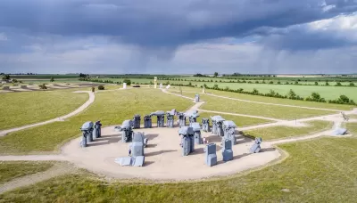
And as one last testament to the power of collective human reaction to the unfathomable scale of nature, we present the story of Carhenge, as detailed in an article by Bart Schaneman. "When Jim Reinders built Carhenge — a Stonehenge replica made out of classic American cars — it was decades before anyone was talking about the path of totality," according to Schaneman. The project was viewed with skepticism in Nebraska, where Carhenge was built, until the it became "one of the most talked-about destinations to view the eclipse in the entire country." It turns out, however, that Reinders never anticipated the Great American Eclipse.
Read the full story: Epic traffic snarls follow 2017 eclipse totality path, Google Maps shows


How People Will See the Eclipse Today
A 33-year GIS professional lets loose his geospatial and population analysis skills on the occasion of a lifetime: today's "Great American Eclipse."
Congestion Costing Reality Check, Part 2: A congestion costing critique
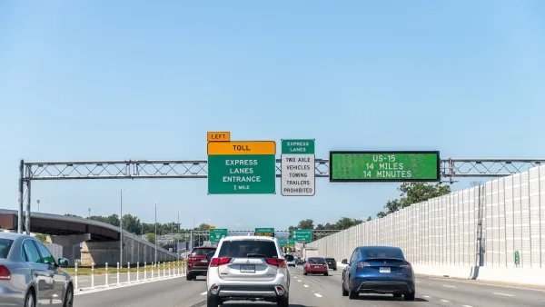
There are good reasons to be skeptical of highway industry claims that traffic congestion is a growing problem. Their analysis is often incomplete and biased. Let’s pull back the curtain on some major congestion cost studies.
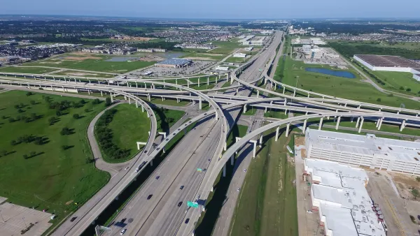
Induced demand is real: Commutes on Houston's 26-lane freeway take 51% longer after expansion
A massive freeway expansion only led to longer drive times, showing that building more lanes won't solve congestion.

Planetizen Federal Action Tracker
A weekly monitor of how Trump’s orders and actions are impacting planners and planning in America.

Amtrak, CN end decades-long dispute with eight-year agreement
The new operating agreement establishes an updated framework for the companies to work together, including processes to resolve disputes.

Judges permit Denver to divert 77,000 acre feet from the Colorado River for reservoir expansion
Overuse and climate change have caused the Colorado River’s water levels to plummet.
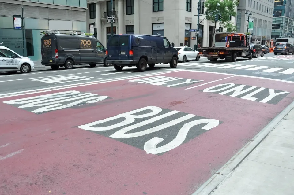
NYC DOT wants faster, more permanent street upgrades
The city is examining ways to build more concrete infrastructure without getting entangled in 'decades-long' projects.

'Something we’ve never seen before:' rising utility rates could strain city finances nationwide
Data centers, climate change and other factors have caused utility rates in the United States to increase by 38% since 2020.

Trump to overrule local leaders, lease millions of acres of America’s Pacific Island territories’ seafloors to mining companies
International law says that the Indigenous people of America’s territories have a right to prior and informed consent regarding projects that impact their countries.

FREE Course: Walkable City 1: Why Walkability?
After describing his path towards focusing on walkability as the essence of good planning, Jeff Speck marches through his five principal reasons for making more walkable places.
Reinventing Malls: Planning Alchemy—Turning Gray Fields Into Gold
The course focuses on the opportunities and imperatives that shape reinvention of mall sites.

Harvard University Graduate School of Design
KFH Group Inc.
Greater Baltimore Committee
The Architects Foundation
University of Cincinnati Online
The Pocatello Development Authority
The Urban Renewal Agency of the City of Pocatello