


Denver is in the process of rolling out a transportation experiment to the residents of the region: separating street space for transit and active transportation can serve all users and doesn't have to be the end of the world for drivers either.
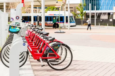
Jon Murray checks in with the transportation situation on Broadway south of Downtown Denver, where last summer the city installed a two-way bike lane and removed a lane of vehicle traffic between Bayaud and Virginia avenues. According to Murray, Broadway funnels the heaviest traffic out of Downtown—about 32,000 drivers use the street every day. As "frustrating" as the changes have been for some rivers, writes Murray, the changes were welcomed by bike advocates and the change "is a signal of the future of commuting in Denver."
"As the city grapples with a surging population, intensifying traffic at all hours of the day and high demand for driving alternatives, public works officials increasingly are dividing up precious pavement, ending the decades of supremacy enjoyed by cars," according to Murray.
The pilot project on Broadway provides proof of concept, according to local transportation planners, that reducing traffic lanes doesn't necessarily slow travel times for cars, while it increases the potential capacity of the road. With evidence of the lane's success in serving all users (not just "auto-driving suburbanites," as Ken Schroeppel, an assistant professor in urban planning at the University of Colorado Denver, puts it in the article) in place, the city is preparing to expand the transit and bike lanes on the street.
FULL STORY: Denver’s commuter corridors, including Broadway, are no longer just for cars. Will that cause strife?

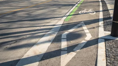
Portland Finds a Cheap Way to Protect Bike Lanes
It's the little things that count—especially when it comes to building safety infrastructure onto streets so that they better serve all modes of transportation.
Seattle Adjusts Signals for Downtown Protected Bike Lane
Brandon G. Donnelly reports that after implementing a Downtown protected bike lane along 2nd Avenue, Seattle has had to make some adjustments to the signaling for the lane.
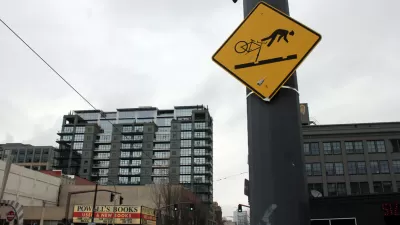
A Troubling Trend of Backlash to Bike Lanes
Some cities are going so far as to rip out protected bike infrastructure that took years of advocacy to build.

Maui's Vacation Rental Debate Turns Ugly
Verbal attacks, misinformation campaigns and fistfights plague a high-stakes debate to convert thousands of vacation rentals into long-term housing.

Planetizen Federal Action Tracker
A weekly monitor of how Trump’s orders and actions are impacting planners and planning in America.

In Urban Planning, AI Prompting Could be the New Design Thinking
Creativity has long been key to great urban design. What if we see AI as our new creative partner?

Cal Fire Chatbot Fails to Answer Basic Questions
An AI chatbot designed to provide information about wildfires can’t answer questions about evacuation orders, among other problems.

What Happens if Trump Kills Section 8?
The Trump admin aims to slash federal rental aid by nearly half and shift distribution to states. Experts warn this could spike homelessness and destabilize communities nationwide.

Sean Duffy Targets Rainbow Crosswalks in Road Safety Efforts
Despite evidence that colorful crosswalks actually improve intersection safety — and the lack of almost any crosswalks at all on the nation’s most dangerous arterial roads — U.S. Transportation Secretary Duffy is calling on states to remove them.
Urban Design for Planners 1: Software Tools
This six-course series explores essential urban design concepts using open source software and equips planners with the tools they need to participate fully in the urban design process.
Planning for Universal Design
Learn the tools for implementing Universal Design in planning regulations.
Appalachian Highlands Housing Partners
Gallatin County Department of Planning & Community Development
Heyer Gruel & Associates PA
Mpact (founded as Rail~Volution)
City of Camden Redevelopment Agency
City of Astoria
City of Portland
City of Laramie