The Brookings Institution has announced a new "Moving to Access" initiative.

A new section of the Brookings website is devoted to the Moving to Access Initiative, which "looks at innovative policies, tools, and techniques that can help ensure that all people—regardless of income or demography—get where they need to go."
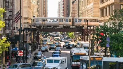
The Moving to Access Initiative website is an animated affair, laying out in clear terms the importance of access while scenes from a multi-modal city play out in the background.
At the conclusion of the Moving to Access page, however, are four reports, written to develop a "common narrative on urban accessibility." One of the reports, written by Gille Duranton and Erick Guerra is titled "An urban planning perspective." The report argues for two basic recommendations: 1) "to put accessibility more squarely at the center of the study of urban development" and 2) "to focus urban policymaking more directly on specific problems, such as congestion, pollution, and traffic fatalities."
FULL STORY: Moving to Access

Planetizen Federal Action Tracker
A weekly monitor of how Trump’s orders and actions are impacting planners and planning in America.

Map: Where Senate Republicans Want to Sell Your Public Lands
For public land advocates, the Senate Republicans’ proposal to sell millions of acres of public land in the West is “the biggest fight of their careers.”

Restaurant Patios Were a Pandemic Win — Why Were They so Hard to Keep?
Social distancing requirements and changes in travel patterns prompted cities to pilot new uses for street and sidewalk space. Then it got complicated.

DC Area County Eliminates Bus Fares
Montgomery County joins a growing trend of making transit free.

Platform Pilsner: Vancouver Transit Agency Releases... a Beer?
TransLink will receive a portion of every sale of the four-pack.

Toronto Weighs Cheaper Transit, Parking Hikes for Major Events
Special event rates would take effect during large festivals, sports games and concerts to ‘discourage driving, manage congestion and free up space for transit.”
Urban Design for Planners 1: Software Tools
This six-course series explores essential urban design concepts using open source software and equips planners with the tools they need to participate fully in the urban design process.
Planning for Universal Design
Learn the tools for implementing Universal Design in planning regulations.
Heyer Gruel & Associates PA
JM Goldson LLC
Custer County Colorado
City of Camden Redevelopment Agency
City of Astoria
Transportation Research & Education Center (TREC) at Portland State University
Camden Redevelopment Agency
City of Claremont
Municipality of Princeton (NJ)


