


A new atlas explores the multiple causes of gentrification through bold graphics and data visualizations.

In The Atlas of Gentrification, designer Herwig Scherabon looks beyond "the migration of hipsters" to expose the nuances of gentrification in cities around the U.S. and U.K.
Inspired by the author's observations in London, Chicago, and San Francisco, the atlas also studies New York; Boston; Portland, Oregon; Los Angeles; Detroit; and Glasgow.
These cities were chosen because they each have a different issue at the core of their gentrification stories, he says; while it’s sky rocketing rents in London, it’s racial segregation in Chicago, forced evictions in San Francisco and so on. These issues make the movement, displacement and replacement of people in each city uniquely nuanced.
In the U.K., for instance, the atlas connects changes in the housing market to the rise of Margaret Thatcher. A section on the racialized income inequality in Chicago reads, "Beneath the anger lie deep racial divides, decades-old, and often the direct result of public policy."
While some primary research was conducted in Glasgow, the book relies primarily upon government data and publicly accessible research.
Scherabon has also received recognition for his visualizations of income inequality in Los Angeles and Chicago. The Atlas of Gentrification is not yet published.
FULL STORY: What gentrification looks like, in lines, dots, shapes and colours


Who's Mapping Gentrification, and Where?
In these cities, data on gentrification has been compiled to build mapping tools documenting the process. The hope is to identify neighborhoods where low-income residents are at risk of displacement.
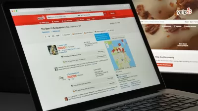
Using Yelp to Predict Gentrification
New research draws on the popular review site Yelp to predict changes in housing prices and demographics.

Anticipating Gentrification in Detroit
Where is gentrification most likely to occur in cities like Detroit? And how can that data guide policy? A new report provides some insight.

Planetizen Federal Action Tracker
A weekly monitor of how Trump’s orders and actions are impacting planners and planning in America.

The Simple Legislative Tool Transforming Vacant Downtowns
In California, Michigan and Georgia, an easy win is bringing dollars — and delight — back to city centers.

San Francisco's School District Spent $105M To Build Affordable Housing for Teachers — And That's Just the Beginning
SFUSD joins a growing list of school districts using their land holdings to address housing affordability challenges faced by their own employees.

In More Metros Than You’d Think, Suburbs are Now More Expensive Than the City
If you're moving to the burbs to save on square footage, data shows you should think again.

The States Losing Rural Delivery Rooms at an Alarming Pace
In some states, as few as 9% of rural hospitals still deliver babies. As a result, rising pre-term births, no adequate pre-term care and "harrowing" close calls are a growing reality.

The Small South Asian Republic Going all in on EVs
Thanks to one simple policy change less than five years ago, 65% of new cars in this Himalayan country are now electric.
Urban Design for Planners 1: Software Tools
This six-course series explores essential urban design concepts using open source software and equips planners with the tools they need to participate fully in the urban design process.
Planning for Universal Design
Learn the tools for implementing Universal Design in planning regulations.
Smith Gee Studio
City of Charlotte
City of Camden Redevelopment Agency
City of Astoria
Transportation Research & Education Center (TREC) at Portland State University
US High Speed Rail Association
City of Camden Redevelopment Agency
Municipality of Princeton (NJ)