


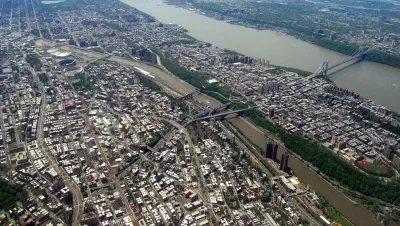
The de Blasio Administration's next big rezoning push will occur in the southwest Bronx.
"After scoring a win for his affordable housing policy with rezoning of East New York, Mayor de Blasio is setting his sights on the Bronx’s Jerome Avenue," according to an article by Audrey Wachs.
"The Department of City Planning (DCP) released preliminary documents that outline plans to rezone a 73-block area of the southwest Bronx," adds Wachs. "The Special Jerome Avenue District [pdf] is centered on its namesake street, the area’s bustling commercial spine that teems with mom-and-pop auto body shops beneath the steel canopy of the 4 train."
The article includes more detail and analysis on the proposed rezoning.
Rebecca Baird-Remba broke the news about the rezoning potentially contentious proposal. As for the substance of the proposal, Baird-Remba writes:
The city wants to encourage the construction of large, mixed-use residential buildings, which will bring new retail, community services, and thousands of affordable apartments. DCP predicts that the rezoning will inject 3,250 new apartments into the area, 72,273 square feet of community facility space, and 35,575 square feet of commercial/retail space.
For those keeping score at home, the rezoning would also implement the city's new Mandatory Inclusionary Housing policy on all 73 of the blocks in the plan area.
FULL STORY: City Releases Plan To Rezone Jerome Avenue In The Bronx

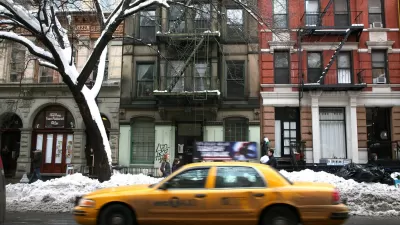
East Village Rezoning Falls Short on Affordable Housing
Enacted in 2008, a partial rezone of Manhattan's East Village and Lower East Side failed to deliver on affordable housing projections, falling short by 45 percent.
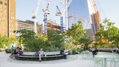
NYC Planning Head Defends Growth-Oriented Policies
Acknowledging anti-development sentiments currently simmering at an "all-time high," New York's planning director Marisa Lago defended de Blasio administration policies like mandatory inclusionary housing.
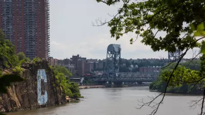
Rezoning Enhances the Changes Already Coming to Manhattan's Northern End
The New York City Council this month approved a rezoning plan for the neighborhood of Inwood, located at the northern tip of Manhattan.

Planetizen Federal Action Tracker
A weekly monitor of how Trump’s orders and actions are impacting planners and planning in America.

Map: Where Senate Republicans Want to Sell Your Public Lands
For public land advocates, the Senate Republicans’ proposal to sell millions of acres of public land in the West is “the biggest fight of their careers.”

Restaurant Patios Were a Pandemic Win — Why Were They so Hard to Keep?
Social distancing requirements and changes in travel patterns prompted cities to pilot new uses for street and sidewalk space. Then it got complicated.

Platform Pilsner: Vancouver Transit Agency Releases... a Beer?
TransLink will receive a portion of every sale of the four-pack.

Toronto Weighs Cheaper Transit, Parking Hikes for Major Events
Special event rates would take effect during large festivals, sports games and concerts to ‘discourage driving, manage congestion and free up space for transit.”

Berlin to Consider Car-Free Zone Larger Than Manhattan
The area bound by the 22-mile Ringbahn would still allow 12 uses of a private automobile per year per person, and several other exemptions.
Urban Design for Planners 1: Software Tools
This six-course series explores essential urban design concepts using open source software and equips planners with the tools they need to participate fully in the urban design process.
Planning for Universal Design
Learn the tools for implementing Universal Design in planning regulations.
Heyer Gruel & Associates PA
JM Goldson LLC
Custer County Colorado
City of Camden Redevelopment Agency
City of Astoria
Transportation Research & Education Center (TREC) at Portland State University
Camden Redevelopment Agency
City of Claremont
Municipality of Princeton (NJ)