A collaboration between Deloitte, Datawheel, and MIT has produced an intuitive aesthetically-pleasing gathering point for public data in the United States. Specific locations and industries boast easy-to-read profiles.



DataUSA is another attempt to make hard-to-use public data easy to access and fun to browse. This time, the result looks quite promising. Tanvi Misra writes, "For any county, city, metro, and state in the U.S., this site pulls up visualizations of data on the economy, demographics, health, education, and housing. It's essentially a one-stop shop for information that is easy to search, understand, embed, and build into new code."
The site's creators approached the design with users in mind, in terms of both structure and presentation. "The creators hope that journalists, businesses, teachers, and policymakers using the site come away with insights on these topics instead of just a set of loose facts and figures. That's why they've also included a tab called 'stories' on the site’s main menu, which features some notable highlights from the datasets."
Users interested in particular locations or demographic topics can use the search feature to bring up easy-to-understand, visually attractive profiles. Data has been assembled from a variety of sources including the American Community Survey, the Bureau of Economic Analysis, and the Bureau of Labor Statistics, among others.
Read the full story: The One-Stop Digital Shop for Digestible Data on Your City

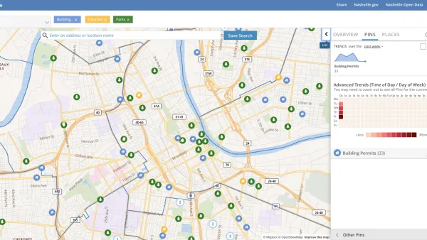
Presenting Municipal Data in an Interactive Map, Nashville Style
The city of Nashville launched the NashView interactive data map earlier this month.
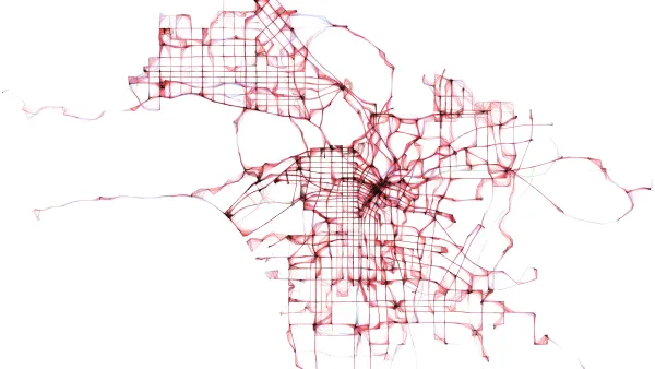
Los Angeles Debuts Open Data Visualization Tool
Containing more than 500 open datasets, GeoHub lets users access the wealth of data Los Angeles makes available. The tool is also intended to help employees from different city departments work together.
'ManyCities' Uses Mobile Phone Data to Visualize Human Activity
A new online visualization tool makes it easier to read and understand data about mobile phone usage in four cities around the world, including Los Angeles and New York.

Planetizen Federal Action Tracker
A weekly monitor of how Trump’s orders and actions are impacting planners and planning in America.

Amtrak, CN end decades-long dispute with eight-year agreement
The new operating agreement establishes an updated framework for the companies to work together, including processes to resolve disputes.

Judges permit Denver to divert 77,000 acre feet from the Colorado River for reservoir expansion
Overuse and climate change have caused the Colorado River’s water levels to plummet.
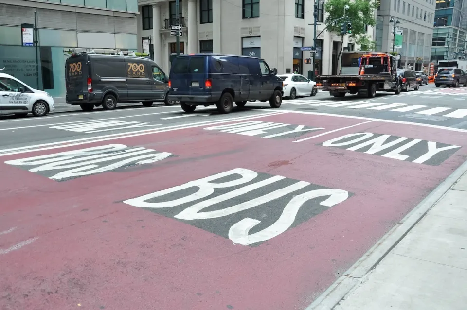
NYC DOT wants faster, more permanent street upgrades
The city is examining ways to build more concrete infrastructure without getting entangled in 'decades-long' projects.

'Something we’ve never seen before:' rising utility rates could strain city finances nationwide
Data centers, climate change and other factors have caused utility rates in the United States to increase by 38% since 2020.

Trump to overrule local leaders, lease millions of acres of America’s Pacific Island territories’ seafloors to mining companies
International law says that the Indigenous people of America’s territories have a right to prior and informed consent regarding projects that impact their countries.

FREE Course: Walkable City 1: Why Walkability?
After describing his path towards focusing on walkability as the essence of good planning, Jeff Speck marches through his five principal reasons for making more walkable places.
Reinventing Malls: Planning Alchemy—Turning Gray Fields Into Gold
The course focuses on the opportunities and imperatives that shape reinvention of mall sites.

Harvard University Graduate School of Design
KFH Group Inc.
Greater Baltimore Committee
The Architects Foundation
University of Cincinnati Online
The Pocatello Development Authority
The Urban Renewal Agency of the City of Pocatello