


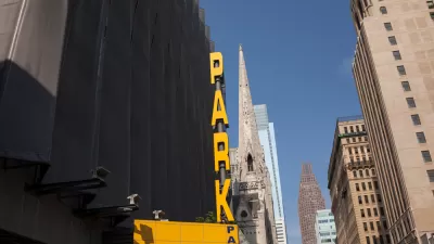
An intrepid city employee created Philadelphia's first mapping tool for visualizing the layers of regulation and management that govern when, when, and how people park in Philadelphia.
Jon Geeting reports on the work of Lauren Ancona in creating Parkadelphia, which Geeting describes as "a powerful new tool for visualizing Philly’s accumulated parking rules."
"While not yet fully complete (locations of individual parking meters, loading zones, and other features are on the way) the application provides an easy one-stop shop for learning about the street parking regulations near you," adds Geeting.
Geeting performs an initial review of the tool, producing a few takeaways, such as
- "Permit parking districts cover most of the city, but permit parking blocks are mostly a greater Center City phenomenon."
- "Neighborhoods with the hottest parking politics mostly aren’t taking advantage of permit parking."
In addition to detailing these, and a couple additional, observations, Geeting calls for readers to add their own.
FULL STORY: New 'Parkadelphia' tool visualizes Philly parking rules


Maps: How Much of Your City is Parking?
The percentage of land dedicated to parking in the central districts of major U.S. cities ranges from 4 percent to as much as 42 percent.
Opinion: Proposed Parking Tax Reduction Would Do More Harm Than Good
Recent investigations into the conditions facing workers in private parking lots in Philadelphia has produced a series of legislation reforms, but one idea, to lower the city's parking tax, isn't going to fly with this opinion writer.

Using Artificial Intelligence to Map Telecommuting Prevalence
In the Philadelphia region, residents of wealthier neighborhoods will be more likely to work from home in the future, thus altering travel patterns and transit usage, according to a new mapping project powered by artificial intelligence (AI).

Planetizen Federal Action Tracker
A weekly monitor of how Trump’s orders and actions are impacting planners and planning in America.

Chicago’s Ghost Rails
Just beneath the surface of the modern city lie the remnants of its expansive early 20th-century streetcar system.

San Antonio and Austin are Fusing Into one Massive Megaregion
The region spanning the two central Texas cities is growing fast, posing challenges for local infrastructure and water supplies.

Since Zion's Shuttles Went Electric “The Smog is Gone”
Visitors to Zion National Park can enjoy the canyon via the nation’s first fully electric park shuttle system.

Trump Distributing DOT Safety Funds at 1/10 Rate of Biden
Funds for Safe Streets and other transportation safety and equity programs are being held up by administrative reviews and conflicts with the Trump administration’s priorities.

German Cities Subsidize Taxis for Women Amid Wave of Violence
Free or low-cost taxi rides can help women navigate cities more safely, but critics say the programs don't address the root causes of violence against women.
Urban Design for Planners 1: Software Tools
This six-course series explores essential urban design concepts using open source software and equips planners with the tools they need to participate fully in the urban design process.
Planning for Universal Design
Learn the tools for implementing Universal Design in planning regulations.
planning NEXT
Appalachian Highlands Housing Partners
Mpact (founded as Rail~Volution)
City of Camden Redevelopment Agency
City of Astoria
City of Portland
City of Laramie