


The percentage of land dedicated to parking in the central districts of major U.S. cities ranges from 4 percent to as much as 42 percent.

A set of maps released by the Parking Reform Network highlights how much land is dedicated to parking in 50 U.S. cities, in large part because of minimum parking requirements, writes Marie Patino in Bloomberg CityLab.
According to the Parking Reform Network, “The worst-performing city analyzed is Arlington, Texas, with a parking score of 100, and 42% of the central city dedicated to parking.” Las Vegas is not far behind, with 32 percent of its central city dedicated to parking. “At the opposite end of the spectrum, San Francisco dedicates 4% of its central city to parking.”
As Patino explains, “The project is intended to put a fine point on just how much developable land in the US is occupied as space for nonmoving cars, and to provide a tool for advocates as more cities reconsider reforming their parking policies.”
Patino describes the recent trend to reverse these mandates and encourage denser development, also chronicled here. According to the article, “The Parking Reform Network has identified over 300 cities that have implemented, proposed, passed or planned some kind of parking reform, and 50 cities that have repealed parking minimum requirements citywide altogether.”
FULL STORY: MapLab: How Much Space Does Your City Dedicate to Parking?


Parking Reform Gains Momentum
More cities and states around the country are recognizing the value of eliminating parking requirements.
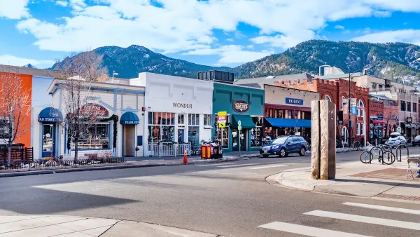
Boulder Eliminates Parking Minimums Citywide
Officials estimate the cost of building a single underground parking space at up to $100,000.

New Hampshire House Passes Parking Reform Bill
The revised bill, which caps parking requirements at one spot per residential unit and eliminates exemptions, will go back to the Senate for a new vote.

Maui's Vacation Rental Debate Turns Ugly
Verbal attacks, misinformation campaigns and fistfights plague a high-stakes debate to convert thousands of vacation rentals into long-term housing.

Planetizen Federal Action Tracker
A weekly monitor of how Trump’s orders and actions are impacting planners and planning in America.

San Francisco Suspends Traffic Calming Amidst Record Deaths
Citing “a challenging fiscal landscape,” the city will cease the program on the heels of 42 traffic deaths, including 24 pedestrians.

Defunct Pittsburgh Power Plant to Become Residential Tower
A decommissioned steam heat plant will be redeveloped into almost 100 affordable housing units.

Trump Prompts Restructuring of Transportation Research Board in “Unprecedented Overreach”
The TRB has eliminated more than half of its committees including those focused on climate, equity, and cities.

Amtrak Rolls Out New Orleans to Alabama “Mardi Gras” Train
The new service will operate morning and evening departures between Mobile and New Orleans.
Urban Design for Planners 1: Software Tools
This six-course series explores essential urban design concepts using open source software and equips planners with the tools they need to participate fully in the urban design process.
Planning for Universal Design
Learn the tools for implementing Universal Design in planning regulations.
Heyer Gruel & Associates PA
JM Goldson LLC
Custer County Colorado
City of Camden Redevelopment Agency
City of Astoria
Transportation Research & Education Center (TREC) at Portland State University
Jefferson Parish Government
Camden Redevelopment Agency
City of Claremont