


State transportation officials set new toll rates for two busy highway corridors outside Denver.
Monte Whaley reports on road tolls for two congested roads in Colorado. The state's High Performance Transportation Enterprise set the tolls for I-70 mountain corridor between Empire and Idaho Springs, west of Denver, as well as for U.S. 36 between Denver and Boulder.
The dynamic pricing of those toll lanes could bring a pretty steep price, according to Whaley. "Drivers jumping onto the toll lane on the Interstate 70 mountain corridor could pay as much as $40, while those traveling to a University of Colorado football game will pay more if they use the U.S. 36 toll lane."
The U.S. 36 tolls are set for the forthcoming second phase of that roadway's Express Lanes project, due to open in 2016. The mention of football reflects a special rate for special events. That will generate significant traffic along the route.
Under the state of Colorado's road toll system, an electronic ExpressToll pass earns a discount from the tolls charged to cars via their license plates.
FULL STORY: I-70 mountain toll lane could hit $40 without pass

Colorado Builds a Highway That Discourages Driving
Upgrades to U.S. 36, the highway that connects Denver to Boulder, feature a variety of elements intended to reduce congestion and offer alternatives to the traditional solo auto commute. The effort is being called a "21st-century mobility project."
Colorado Zoning Reform Yields Slow Results — For Now
An ambitious set of zoning reforms largely fell flat as developers rushed to submit project applications before new affordable housing requirements took effect.
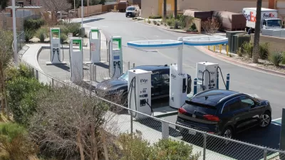
Electric Driving Is the Future; Now Is the Time to Price It
EVs are great, but they’re not perfect. Let’s end their free ride.

Planetizen Federal Action Tracker
A weekly monitor of how Trump’s orders and actions are impacting planners and planning in America.

Map: Where Senate Republicans Want to Sell Your Public Lands
For public land advocates, the Senate Republicans’ proposal to sell millions of acres of public land in the West is “the biggest fight of their careers.”

Restaurant Patios Were a Pandemic Win — Why Were They so Hard to Keep?
Social distancing requirements and changes in travel patterns prompted cities to pilot new uses for street and sidewalk space. Then it got complicated.

Platform Pilsner: Vancouver Transit Agency Releases... a Beer?
TransLink will receive a portion of every sale of the four-pack.

Toronto Weighs Cheaper Transit, Parking Hikes for Major Events
Special event rates would take effect during large festivals, sports games and concerts to ‘discourage driving, manage congestion and free up space for transit.”

Berlin to Consider Car-Free Zone Larger Than Manhattan
The area bound by the 22-mile Ringbahn would still allow 12 uses of a private automobile per year per person, and several other exemptions.
Urban Design for Planners 1: Software Tools
This six-course series explores essential urban design concepts using open source software and equips planners with the tools they need to participate fully in the urban design process.
Planning for Universal Design
Learn the tools for implementing Universal Design in planning regulations.
Heyer Gruel & Associates PA
JM Goldson LLC
Custer County Colorado
City of Camden Redevelopment Agency
City of Astoria
Transportation Research & Education Center (TREC) at Portland State University
Camden Redevelopment Agency
City of Claremont
Municipality of Princeton (NJ)