


A snow storm came through overnight, your street hasn't been cleared. When can you expect to have your street cleared? Cities are increasingly providing snowplow tracking information to residents.

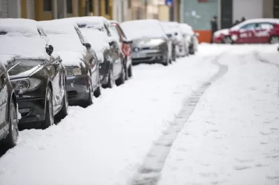
Cities are making it easier for citizens to track city services. For example, Ann Arbor, Chicago, Newark, New York, Pittsburg, and Seattle now have apps that allows residents to track snow removal operations as they happen.
Chicago allows residents to easily track where the plows are throughout the city.
GPS devices are installed on snowplows. This allows their routes to be tracked as they clear the roads. Tracking sites allow residents to see where the snow plow has been and the rating of their street based on priority. It also makes it easier for residents to report errors, such as a missed street. Companies such as CrewTracker and Snow Removal Tracking Software provide software cities and others can use to track and manage snow removal.
![]()
Your street was missed, no problem, there is a snow app for that. Plows&Mowz (Android and iOS) allows residents to order snow plowing services from a mobile app.
Does your city track snow removal? Tell us about how well snow removal tracking works in your community.

Chicago Budget Fails to Include Snow Plowing Program
Disability rights advocates say the “Plow the Sidewalks” program is a necessity for Chicagoans with limited mobility in winter months.
New Equipment and Staff for 'Non-Motorized Trail' Snow Removal Acquired in D.C.
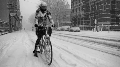
A common wintertime compliant about snow removal for cars taking priority over bike lanes and sidewalks might be a little less common this winter.
The 'Wide-Ranging Ecological Downside' of Road Salt
A study from the USGS using five decades of data shows salinity and alkalinity are up in waterways across the United States.

Planetizen Federal Action Tracker
A weekly monitor of how Trump’s orders and actions are impacting planners and planning in America.

Map: Where Senate Republicans Want to Sell Your Public Lands
For public land advocates, the Senate Republicans’ proposal to sell millions of acres of public land in the West is “the biggest fight of their careers.”

Restaurant Patios Were a Pandemic Win — Why Were They so Hard to Keep?
Social distancing requirements and changes in travel patterns prompted cities to pilot new uses for street and sidewalk space. Then it got complicated.

Platform Pilsner: Vancouver Transit Agency Releases... a Beer?
TransLink will receive a portion of every sale of the four-pack.

Toronto Weighs Cheaper Transit, Parking Hikes for Major Events
Special event rates would take effect during large festivals, sports games and concerts to ‘discourage driving, manage congestion and free up space for transit.”

Berlin to Consider Car-Free Zone Larger Than Manhattan
The area bound by the 22-mile Ringbahn would still allow 12 uses of a private automobile per year per person, and several other exemptions.
Urban Design for Planners 1: Software Tools
This six-course series explores essential urban design concepts using open source software and equips planners with the tools they need to participate fully in the urban design process.
Planning for Universal Design
Learn the tools for implementing Universal Design in planning regulations.
Heyer Gruel & Associates PA
JM Goldson LLC
Custer County Colorado
City of Camden Redevelopment Agency
City of Astoria
Transportation Research & Education Center (TREC) at Portland State University
Camden Redevelopment Agency
City of Claremont
Municipality of Princeton (NJ)