


The owners of CityMap call it one of the most social and most monetizable maps in the world. With a new expansion plan announced this week, the app—which launched in 2012 with a map of every shop in New York City—is going global.
"Citymaps, which launched in 2012 as a map of every shop in New York City—and eventually evolved into a social map complete with recommendations from friends—is now officially global," reports Matthew Flamm. "On Thursday the company announced its worldwide expansion and a $6 million funding round that has supported its mapping effort over the past year."
Citymaps is most recognizable for its license with the NYC Taxi & Limousine Commission for NYC Map, the interactive mapping service available in New York taxis. According to Flamm, CityMap "[is] now planning to launch a native-advertising program that would allow merchants to market themselves to users." Such revenue streams make CityMap, according to the claims of founder and CEO Elliot Cohen, one of the most monetized (and monetizable) maps in the world.
FULL STORY: First stop, NYC. Next stop, everywhere else.


New Interactive Mapping Tool Tracks all of NYC's Infrastructure Projects, Housing Permits, and City Facilities
The New York Department of City Planning has taken its open data practices to a new level with the launch of the Capital Planning Explorer.
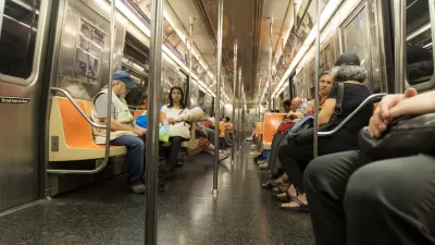
Miss the Subway? There's an App for That
The NYC Subway Sounds app is a great tool for dealing with nostalgia for the old ways of life.
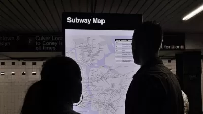
The New York Subway Map, Explained
An interactive feature reveals the origins and design choices of the New York Subway map.

Planetizen Federal Action Tracker
A weekly monitor of how Trump’s orders and actions are impacting planners and planning in America.

San Francisco's School District Spent $105M To Build Affordable Housing for Teachers — And That's Just the Beginning
SFUSD joins a growing list of school districts using their land holdings to address housing affordability challenges faced by their own employees.

The Tiny, Adorable $7,000 Car Turning Japan Onto EVs
The single seat Mibot charges from a regular plug as quickly as an iPad, and is about half the price of an average EV.

Trump Approves Futuristic Automated Texas-Mexico Cargo Corridor
The project could remove tens of thousands of commercial trucks from roadways.

Austin's First Single Stair Apartment Building is Officially Underway
Eliminating the requirement for two staircases in multi-story residential buildings lets developers use smaller lots and more flexible designs to create denser housing.

Atlanta Bus System Redesign Will Nearly Triple Access
MARTA's Next Gen Bus Network will retool over 100 bus routes, expand frequent service.
Urban Design for Planners 1: Software Tools
This six-course series explores essential urban design concepts using open source software and equips planners with the tools they need to participate fully in the urban design process.
Planning for Universal Design
Learn the tools for implementing Universal Design in planning regulations.
Smith Gee Studio
City of Charlotte
City of Camden Redevelopment Agency
City of Astoria
Transportation Research & Education Center (TREC) at Portland State University
US High Speed Rail Association
City of Camden Redevelopment Agency
Municipality of Princeton (NJ)