


Christopher and Lisa Leinberger present a history of popular television shows reflecting and predicting how Americans chose to live.
"There have been two crucial times over the last 60 years when TV shows switched settings, reflecting society’s shifts in the way we have invested in infrastructure and real estate. We are in the middle of the second structural shift right now, which started in the mid-1990s. TV helped to predict that change," write the Leinbergers.
The list has two criteria: "prime-time situation comedies and dramas (no daytime TV, sports, news or reality shows)" and "the built environment — walkable urban or drivable suburban — must play a significant, though generally subtle, role in the show."
Here are a couple of examples of what they came up with, among the six examples of television eras described in the article:
- "The Adventures of Ozzie and Harriet" (1951-1966) for era #3: "Drivable suburban living lionized (late 1950s through the late 1960s)"
- "The Sopranos" (1999-2007) for era #6: "Growing dysfunction in the suburbs (late 1990s to the present)"
FULL STORY: How TV Predicted America’s Moves From City to ‘Burbs and Back Again

An Urbanist Agenda for Education
An opinion article by Angie Schmitt addresses the neglect of education policy in the urbanist political platform, and proposes two specific education policy goals for urbanists to get behind.
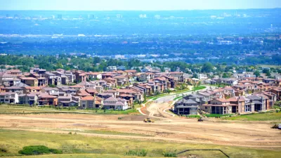
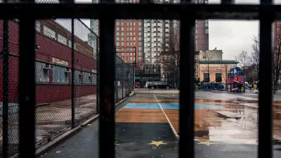
Majority of Americans Prefer Larger Homes and Longer Trips, Survey Says
The percentages have fluctuated on either side of the pandemic, but most Americans prefer to live in communities with larger houses, located farther away from schools, stores, and restaurants, according to a recent Pew Research Center survey.

Public Perceptions of Sprawl and Greenhouse Gas Emissions
Urban density has a bad reputation.

Planetizen Federal Action Tracker
A weekly monitor of how Trump’s orders and actions are impacting planners and planning in America.

Restaurant Patios Were a Pandemic Win — Why Were They so Hard to Keep?
Social distancing requirements and changes in travel patterns prompted cities to pilot new uses for street and sidewalk space. Then it got complicated.

Maui's Vacation Rental Debate Turns Ugly
Verbal attacks, misinformation campaigns and fistfights plague a high-stakes debate to convert thousands of vacation rentals into long-term housing.

In California Battle of Housing vs. Environment, Housing Just Won
A new state law significantly limits the power of CEQA, an environmental review law that served as a powerful tool for blocking new development.

Boulder Eliminates Parking Minimums Citywide
Officials estimate the cost of building a single underground parking space at up to $100,000.

Orange County, Florida Adopts Largest US “Sprawl Repair” Code
The ‘Orange Code’ seeks to rectify decades of sprawl-inducing, car-oriented development.
Urban Design for Planners 1: Software Tools
This six-course series explores essential urban design concepts using open source software and equips planners with the tools they need to participate fully in the urban design process.
Planning for Universal Design
Learn the tools for implementing Universal Design in planning regulations.
Heyer Gruel & Associates PA
JM Goldson LLC
Custer County Colorado
City of Camden Redevelopment Agency
City of Astoria
Transportation Research & Education Center (TREC) at Portland State University
Camden Redevelopment Agency
City of Claremont
Municipality of Princeton (NJ)