A pilot program operated by New York's DOT will gather data from 500 city motorists' vehicles in order to find problematic city streets and help drivers reduce their gas use and increase their safety.


New York's Department of Transportation (DOT) "will launch a federally funded pilot program this fall to equip up to 500 city motorists with transmitters that collect data from their car's onboard computers," reports Ted Mann. "The data will flow to certain smartphone apps, supplying drivers with statistics on everything from gas mileage to the average speeds at which they move through city traffic."
"The DOT will be able to monitor the same driver data, to evaluate how and where cars are moving through the city in a new way. The DOT could analyze the data to find specific problems that plague specific streets."
"It will create a revolutionary new set of metrics for us in managing the streets," said Bruce Schaller, the DOT's deputy commissioner for traffic and planning.
Read the full story: Data Driven: New Program to Fix New York City's Streets

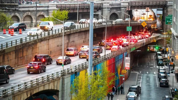
NYC to erect ‘temporary highway’ while rebuilding crumbling BQE
The city estimates it will spend $4 billion on the renovated expressway, which will reopen by 2040.
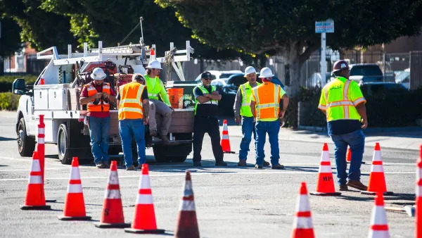
Commentary: LA’s ‘Large Asphalt Repair’ Policy Privileges Drivers, Endangers Others
A new policy to perform spot repairs rather than resurfacing entire streets lets the city skirt requirements to install accessibility and pedestrian infrastructure.
Has Progress on Travel Safety Run Off the Road?
Changing technology and rebuilding infrastructure to improve road safety are long-term strategies. How can enforcement and interventions that influence driver behavior make a difference in reducing traffic deaths sooner?

Planetizen Federal Action Tracker
A weekly monitor of how Trump’s orders and actions are impacting planners and planning in America.

Amtrak, CN end decades-long dispute with eight-year agreement
The new operating agreement establishes an updated framework for the companies to work together, including processes to resolve disputes.

Judges permit Denver to divert 77,000 acre feet from the Colorado River for reservoir expansion
Overuse and climate change have caused the Colorado River’s water levels to plummet.
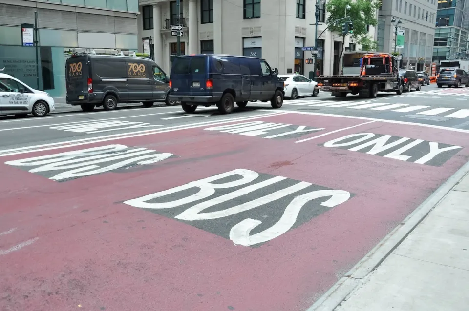
NYC DOT wants faster, more permanent street upgrades
The city is examining ways to build more concrete infrastructure without getting entangled in 'decades-long' projects.

'Something we’ve never seen before:' rising utility rates could strain city finances nationwide
Data centers, climate change and other factors have caused utility rates in the United States to increase by 38% since 2020.

Trump to overrule local leaders, lease millions of acres of America’s Pacific Island territories’ seafloors to mining companies
International law says that the Indigenous people of America’s territories have a right to prior and informed consent regarding projects that impact their countries.

FREE Course: Walkable City 1: Why Walkability?
After describing his path towards focusing on walkability as the essence of good planning, Jeff Speck marches through his five principal reasons for making more walkable places.
Reinventing Malls: Planning Alchemy—Turning Gray Fields Into Gold
The course focuses on the opportunities and imperatives that shape reinvention of mall sites.

Harvard University Graduate School of Design
KFH Group Inc.
Greater Baltimore Committee
The Architects Foundation
University of Cincinnati Online
The Pocatello Development Authority
The Urban Renewal Agency of the City of Pocatello