


A new guidebook illustrates ways to create safer streets and more livable public spaces.
This detailed and illustrated manual, produced by the Institute for Transport and Development Policy and the Ahmedabad-based Environmental Planning Collaborative, provides guidance on how to apply good design to create attractive, safe multi-modal streets and more livable public spaces.
The manual describes sixteen street elements, such as footpaths, cycle tracks, medians, and spaces for street vending, and discusses the role each plays in an efficient, multi-use roadway. It identifies the different functions of streets and emphasizes the need to design complete streets that provide space for all users. It describes practical ways to accommodate pedestrians, cyclists and public transport, and ways to avoid common pitfalls. Through the street and intersection templates one can get a sense of how the different elements come together for different types and sizes of streets. Finally, there is an overview of the activities that are undertaken as a part of the overall process of street design.
This manual is intended for planners, urban designers, landscape architects, civil engineers, government officials and citizens who are interested in improving the quality of urban environments and the character of city streets. Although produced in India, the authors feel it is "suitable for use in any urban area."
Better Streets, Better Cities [PDF, 52 MB]
Thanks to Todd Litman
FULL STORY: Better Streets, Better Cities: A Guide to Street Design in Urban India

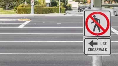
Florida Home to 8 of the 10 Deadliest Cities for Pedestrians
Smart Growth America has released its annual Dangerous by Design report, showing that many older, car-oriented cities are the country's most dangerous.
Milwaukee Road Safety Efforts Paying Off
The city is seeing fewer speeding violations after installing traffic calming measures and boosting enforcement to limit reckless driving.
Which Cities Have the Highest Pedestrian Fatalities?
Rapid population growth and limited pedestrian infrastructure puts people walking at higher risk.

Planetizen Federal Action Tracker
A weekly monitor of how Trump’s orders and actions are impacting planners and planning in America.

Maui's Vacation Rental Debate Turns Ugly
Verbal attacks, misinformation campaigns and fistfights plague a high-stakes debate to convert thousands of vacation rentals into long-term housing.

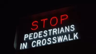
San Francisco Suspends Traffic Calming Amidst Record Deaths
Citing “a challenging fiscal landscape,” the city will cease the program on the heels of 42 traffic deaths, including 24 pedestrians.

Defunct Pittsburgh Power Plant to Become Residential Tower
A decommissioned steam heat plant will be redeveloped into almost 100 affordable housing units.

Trump Prompts Restructuring of Transportation Research Board in “Unprecedented Overreach”
The TRB has eliminated more than half of its committees including those focused on climate, equity, and cities.

Amtrak Rolls Out New Orleans to Alabama “Mardi Gras” Train
The new service will operate morning and evening departures between Mobile and New Orleans.
Urban Design for Planners 1: Software Tools
This six-course series explores essential urban design concepts using open source software and equips planners with the tools they need to participate fully in the urban design process.
Planning for Universal Design
Learn the tools for implementing Universal Design in planning regulations.
Heyer Gruel & Associates PA
JM Goldson LLC
Custer County Colorado
City of Camden Redevelopment Agency
City of Astoria
Transportation Research & Education Center (TREC) at Portland State University
Jefferson Parish Government
Camden Redevelopment Agency
City of Claremont