


Richard Florida plots the geography of class on a map of Toronto to show the deep economic divisions at work in an almost "completely post industrial," city.
"Higher-paying, higher skill creative class jobs are concentrated in a T-shape radiating out of the downtown core of the city." Lower wage and skill jobs surround this formation and spread to the outskirts of the city, where they mix with just a couple of neighborhoods where working class jobs are still dominant.
Florida believes the location of these jobs helps to understand the increasingly class-polarized politics and current mayor's race.
He advises that "Toronto needs to come to grips with its growing class divide, and to develop strategies that can begin to address it if it wants to retain the tolerance, social cohesion, and commitments to social justice which have so long been its hallmarks."
FULL STORY: Toronto's Geography of Class


Toronto Mayoral Candidate Suggests Repurposing City Golf Courses
Former chief planner Jennifer Keesmaat wants to transform three failing golf courses into free public spaces.
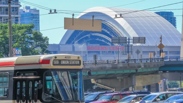
Toronto Weighs Cheaper Transit, Parking Hikes for Major Events
Special event rates would take effect during large festivals, sports games and concerts to ‘discourage driving, manage congestion and free up space for transit.”

Toronto Condo Sales Drop 75%
In two of Canada’s most expensive cities, more condos were built than ever — and sales are plummeting.

Maui's Vacation Rental Debate Turns Ugly
Verbal attacks, misinformation campaigns and fistfights plague a high-stakes debate to convert thousands of vacation rentals into long-term housing.

Planetizen Federal Action Tracker
A weekly monitor of how Trump’s orders and actions are impacting planners and planning in America.

In Urban Planning, AI Prompting Could be the New Design Thinking
Creativity has long been key to great urban design. What if we see AI as our new creative partner?

Portland Raises Parking Fees to Pay for Street Maintenance
The city is struggling to bridge a massive budget gap at the Bureau of Transportation, which largely depleted its reserves during the Civd-19 pandemic.

Spokane Mayor Introduces Housing Reforms Package
Mayor Lisa Brown’s proposals include deferring or waiving some development fees to encourage more affordable housing development.

Houston Mayor Kills Another Bike Lane
The mayor rejected a proposed bike lane in the Montrose district in keeping with his pledge to maintain car lanes.
Urban Design for Planners 1: Software Tools
This six-course series explores essential urban design concepts using open source software and equips planners with the tools they need to participate fully in the urban design process.
Planning for Universal Design
Learn the tools for implementing Universal Design in planning regulations.
Gallatin County Department of Planning & Community Development
Heyer Gruel & Associates PA
JM Goldson LLC
City of Camden Redevelopment Agency
City of Astoria
Transportation Research & Education Center (TREC) at Portland State University
Jefferson Parish Government
Camden Redevelopment Agency
City of Claremont