


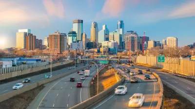
The Daily Beast has released a list of the 75 worst commutes in America. Top of the list: L.A.'s Hollywood Freeway.
By comparing rush hour congestion and free-flowing traffic difference, the 75 worst metro areas were identified.
"It was a two-step process, done with data from traffic-tracking firm INRIX, which culls information nationwide from more than 1.5 million GPS units, mostly in freight trucks.
Our first step was ranking the metropolitan areas with the worst rush-hour congestion. The order is based on the peak hour Travel Time Index (TTI) for the metropolitan area each highway is in. TTI is a measure of how much longer it takes to complete a road journey during peak congestion hours compared to free-flow hours. (Peak hours are defined as 6 a.m. to 10a.m., and 3 p.m. to 7 p.m.) Speeds during non-peak hours are used by INRIX to establish this free-flow baseline.
After determining the 75 worst metro areas, we then found the worst highway in each, defined as the most hours of bottleneck congestion, as reported by INRIX. The rankings then provide a still deeper look-at the most congested bottleneck segment for the worst highway in each area."
FULL STORY: America's 75 Worst Commutes

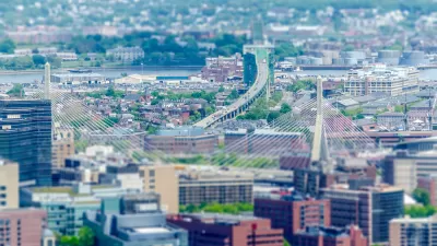
Twin Cities Commutes Faster Than Pre-Pandemic
Workers who have returned to in-person jobs are still experiencing less traffic congestion than in 2019.

How to End the Commute Nightmare
The pandemic let many people experience a commute-free lifestyle, but can we reduce rush-hour traffic as we make our return to physical workplaces?
Post-Pandemic Traffic: Easier Morning Commutes, Heading for Afternoon 'Peak Spreading'
The Boston Globe recently published an analysis of Boston-area traffic through the pandemic, finding that congestion is finally recovering to pre-pandemic levels, but in new patterns.

Maui's Vacation Rental Debate Turns Ugly
Verbal attacks, misinformation campaigns and fistfights plague a high-stakes debate to convert thousands of vacation rentals into long-term housing.

Planetizen Federal Action Tracker
A weekly monitor of how Trump’s orders and actions are impacting planners and planning in America.

In Urban Planning, AI Prompting Could be the New Design Thinking
Creativity has long been key to great urban design. What if we see AI as our new creative partner?

Portland Raises Parking Fees to Pay for Street Maintenance
The city is struggling to bridge a massive budget gap at the Bureau of Transportation, which largely depleted its reserves during the Civd-19 pandemic.

Spokane Mayor Introduces Housing Reforms Package
Mayor Lisa Brown’s proposals include deferring or waiving some development fees to encourage more affordable housing development.

Houston Mayor Kills Another Bike Lane
The mayor rejected a proposed bike lane in the Montrose district in keeping with his pledge to maintain car lanes.
Urban Design for Planners 1: Software Tools
This six-course series explores essential urban design concepts using open source software and equips planners with the tools they need to participate fully in the urban design process.
Planning for Universal Design
Learn the tools for implementing Universal Design in planning regulations.
Gallatin County Department of Planning & Community Development
Heyer Gruel & Associates PA
JM Goldson LLC
City of Camden Redevelopment Agency
City of Astoria
Transportation Research & Education Center (TREC) at Portland State University
Jefferson Parish Government
Camden Redevelopment Agency
City of Claremont