


The Tampa Bay Area Regional Transportation Authority has released its Draft Regional Transportation Master Plan. The plan calls for hundreds of miles of new LRT and commuter rail lines and a massive increase in local bus networks.
"The plan's centerpiece will be a network of transportation corridors stretching from Sarasota County to Citrus County and centered largely on Tampa, St. Petersburg and southern Pasco County.
That network will show potential hubs where commuter trains intersect with light-rail trains and buses. It also will show a grid of potential high-occupancy vehicle lanes, possibly on Interstate 75 and other highways, for buses, vans and vehicles with three or more people.
One highly visible piece of the plan is a train network to serve downtown Tampa, the West Shore Business District, the University of South Florida, Tampa International Airport, St. Petersburg and other job centers.
TBARTA officials say the idea is to view travel patterns from a regional perspective and relieve congestion by offering motorists an alternative to traveling alone in a car."
Thanks to Steve Brooks
FULL STORY: Regional transit plan ready for the public

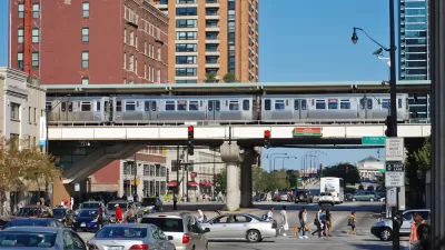
Time Running Out for Illinois Transit Bill
Chicago-area transit agencies face a daunting budget gap if lawmakers fail to agree on a funding bill by the end of the current legislative session.

‘It’s Been 50 years’: Public Transit Law Passes in Montana
Legislation would fix transportation district issue, allow for greater reach on city bus routes.
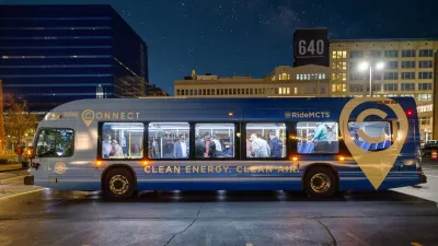
Wisconsin Governor Opens Window for Regional Transit Authority
The proposed state budget includes a provision that allows local governments to establish a dedicated transit tax.

Planetizen Federal Action Tracker
A weekly monitor of how Trump’s orders and actions are impacting planners and planning in America.

Map: Where Senate Republicans Want to Sell Your Public Lands
For public land advocates, the Senate Republicans’ proposal to sell millions of acres of public land in the West is “the biggest fight of their careers.”

Restaurant Patios Were a Pandemic Win — Why Were They so Hard to Keep?
Social distancing requirements and changes in travel patterns prompted cities to pilot new uses for street and sidewalk space. Then it got complicated.

Platform Pilsner: Vancouver Transit Agency Releases... a Beer?
TransLink will receive a portion of every sale of the four-pack.

Toronto Weighs Cheaper Transit, Parking Hikes for Major Events
Special event rates would take effect during large festivals, sports games and concerts to ‘discourage driving, manage congestion and free up space for transit.”

Berlin to Consider Car-Free Zone Larger Than Manhattan
The area bound by the 22-mile Ringbahn would still allow 12 uses of a private automobile per year per person, and several other exemptions.
Urban Design for Planners 1: Software Tools
This six-course series explores essential urban design concepts using open source software and equips planners with the tools they need to participate fully in the urban design process.
Planning for Universal Design
Learn the tools for implementing Universal Design in planning regulations.
Heyer Gruel & Associates PA
JM Goldson LLC
Custer County Colorado
City of Camden Redevelopment Agency
City of Astoria
Transportation Research & Education Center (TREC) at Portland State University
Camden Redevelopment Agency
City of Claremont
Municipality of Princeton (NJ)