The plan identifies a High Injury Network and strategies for improving road safety on Oklahoma City streets.


Oklahoma City is considering its first-ever Vision Zero action plan to reduce traffic deaths, reports Brett Fieldcamp in the Oklahoma City Free Press.
The plan identifies dangerous streets and recommends enforcement and infrastructure improvements. According to Fieldcamp, “Following an extended public comment period and an initial presentation to the OKC Planning Commission, officials have been tooling and tightening the plan in anticipation of a Planning Commission vote on January 23rd, one step closer to the massive set of safety guidelines and considerations becoming official City policy.”
The plan highlights the city’s High Injury Network, the seven road segments that pose the most risk to pedestrians. Recommendations for various improvements are scored based on how well they are likely to perform, with medians, median barriers, and pedestrian islands as the highest-scoring projects.
During its public comment period, the city received a large number of comments about speeding and other traffic violations, prompting discussions about traffic enforcement and the potential of using new mechanisms such as red light cameras to enforce traffic regulations and discourage dangerous behavior.
Read the full story: Public shapes Vision Zero plan to reduce traffic fatalities

Pedestrian Deaths Fell by Largest Percentage in 15 Years, but Remain Above Pre-Pandemic Levels
After a spike in deaths during the Covid-19 years, road deaths fell to 3,024 in the first half of 2025.
Jacksonville Takes Action on Vision Zero
The city is implementing its first-ever Vision Zero Action Plan in an effort to reduce pedestrian and cyclist deaths and serious injuries.
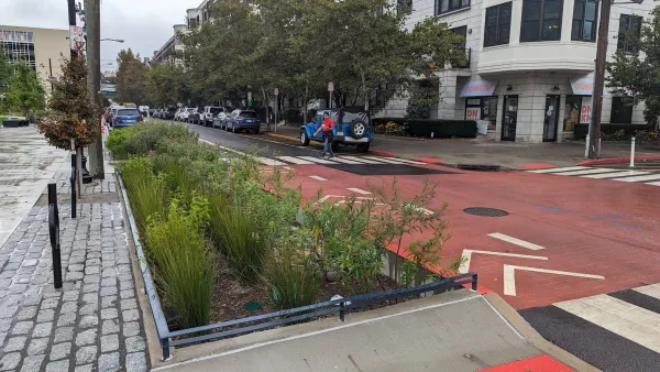
Hoboken's $20 Vision Zero fix
The New Jersey city eliminated traffic deaths for the last nine years in a row.

Planetizen Federal Action Tracker
A weekly monitor of how Trump’s orders and actions are impacting planners and planning in America.

Chicago breaks ground on $3 billion megadevelopment
The new neighborhood, titled Foundry Park, will one day host 3,700 residences.
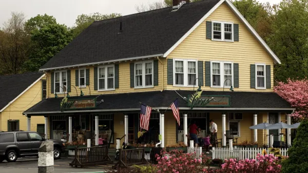
This MA town is drowning in its own sewage — and residents like it that way
Susan Murcott, a waste water expert, said if Carlisle didn't address their leaking sewage, the problem could turn “deadly.”

Home batteries are ushering in an energy revolution
Batteries capable of storing solar energy can stabilize the grid during peaks and keep homes running on cloudy days.

A sneak peek at NYC’s Midtown Bus Terminal rebuild
The city will turn a deck used for storage during the construction process into a park once construction is complete.

Air taxis to connect Texas airports to business hubs
Archer Aviation says its taxis will turn 90 minute drives into 20 minute flights.

FREE Course: Walkable City 1: Why Walkability?
After describing his path towards focusing on walkability as the essence of good planning, Jeff Speck marches through his five principal reasons for making more walkable places.
Reinventing Malls: Planning Alchemy—Turning Gray Fields Into Gold
The course focuses on the opportunities and imperatives that shape reinvention of mall sites.

City of Rosemead
Rutgers University, Edward J. Bloustein School of Planning and Public Policy
One Hundred Miles
The Architects Foundation
University of Cincinnati Online
Montrose County
Northern Illinois Transit Authority (NITA)
The Pocatello Development Authority