How approaching transportation planning through a public health lens can reduce traffic deaths.


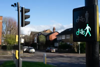
In an interview with Streetsblog for The Brake podcast, outgoing head of Washington state’s Department of Transportation Roger Millar describes why he believes including public health in Vision Zero discussions is key to saving more lives and making U.S. streets and roads safer and healthier for the people who use and live around them.
Discussing Washington’s “safe systems” framework — an approach that prioritizes road design that minimizes the potential harm caused by inevitable human error — Millar notes his focus on “safe land use.” In this view, “What all car crashes have in common is cars. And if you have a threat to public health, the public health community says the first thing you do is, you separate people from the threat.”
For Millar, “if we can create spaces, communities, neighborhoods, centers that are built around mobility or access that does not involve an automobile, or that minimizes the use of automobile, we would be safer. We have to have this safer land use component to the safe systems.”
Read the full story: What’s Missing From the Safe Systems Approach


US Street Design Manual Inches Toward Safer Roads
The guiding document for U.S. road design is starting to recognize the needs of people walking and biking, but safe streets advocates say more significant changes are needed to reduce the high number of pedestrian deaths and improve connectivity for all road users.
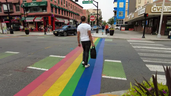
New Jersey Announces Statewide Vision Zero Strategy
A state report outlines legislative actions and land use changes with the goal of eliminating traffic deaths by 2040.

‘Complete Streets’ Webpage Deleted in Federal Purge
Basic resources and information on building bike lanes and sidewalks, formerly housed on the government’s Complete Streets website, are now gone.

Planetizen Federal Action Tracker
A weekly monitor of how Trump’s orders and actions are impacting planners and planning in America.

California plans to bury El Niño’s downpour
If the state plays its cards right, it may be able to store a billion acre-feet of El Niño’s water in aquifers.

Chicago breaks ground on $3 billion megadevelopment
The new neighborhood, titled Foundry Park, will one day host 3,700 residences.

Satanic place names
From streams and lakes to valleys and canyons, I mapped more than 1,000 places named after the Devil.

California High-Speed Rail Authority CEO resigns after $600,000 scandal
Under Ian Choudri, the authority used taxpayer dollars to fund first class flights and trips to nightclubs.

Want to study the Missouri River? Soon, you may need unanimous approval from 10 states
Legislation would require 10 governors’ permission to study or build projects moving water outside the basin.

FREE Course: Walkable City 1: Why Walkability?
After describing his path towards focusing on walkability as the essence of good planning, Jeff Speck marches through his five principal reasons for making more walkable places.
Reinventing Malls: Planning Alchemy—Turning Gray Fields Into Gold
The course focuses on the opportunities and imperatives that shape reinvention of mall sites.

City of Rosemead
Rutgers University, Edward J. Bloustein School of Planning and Public Policy
One Hundred Miles
Hunter College, City University of New York (CUNY)
The Architects Foundation
University of Cincinnati Online
City of Cambridge
Montrose County
The Pocatello Development Authority