


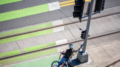
The state is deploying AI-assisted technology to identify dangerous road segments and improve signal timing.
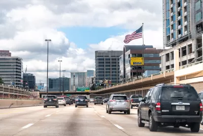
Texas transportation officials are deploying new tech to improve traffic safety and reduce fatalities, reports Chris Teale for Route Fifty.
One tool the state is using is intelligent transportation software that compiles traffic data to improve signal timing and shed light on safety issues. “Together, the data helps traffic engineers see, for example, where drivers are slamming on their brakes or hitting the gas pedal. That, in turn, allows them to determine where safety improvements should be made to reduce the risk of accidents.”
According to Mike Arellano, deputy district director for the Texas Department of Transportation’s Austin District, the technology has led to a 29 percent reduction in ‘secondary’ crashes. “Meanwhile, the data has helped the state open up roadways faster after crashes. Roads are back to normal operations and traffic flow 44 minutes earlier than before.”
This approach requires connected traffic signals, sensors on vehicles, and other infrastructure that is, for now, out of reach for many smaller cities.
FULL STORY: How one state is using technology to curb high pedestrian fatality rates


Proposed Bill Would Direct Funds to Road Safety
The Sarah Debbink Langenkamp Active Transportation Safety Act was spurred by the death of a U.S. diplomat who was killed on her bicycle.
Audit: Portland’s Vision Zero Needs More Data, Funding
A city audit found that the program has failed to reduce traffic deaths and could benefit from a more systematic approach. Meanwhile, PBOT says it needs more state funding to support road safety projects.

How “Proven Safety Countermeasures” Save Lives
A bill named in honor of a U.S. diplomat killed while on her bicycle would let state DOTs access full federal funding for road safety projects.

Planetizen Federal Action Tracker
A weekly monitor of how Trump’s orders and actions are impacting planners and planning in America.

Congressman Proposes Bill to Rename DC Metro “Trump Train”
The Make Autorail Great Again Act would withhold federal funding to the system until the Washington Metropolitan Area Transit Authority (WMATA), rebrands as the Washington Metropolitan Authority for Greater Access (WMAGA).

DARTSpace Platform Streamlines Dallas TOD Application Process
The Dallas transit agency hopes a shorter permitting timeline will boost transit-oriented development around rail stations.

San Francisco's School District Spent $105M To Build Affordable Housing for Teachers — And That's Just the Beginning
SFUSD joins a growing list of school districts using their land holdings to address housing affordability challenges faced by their own employees.

Car-Centric LA Suburb Looks to a Train-Oriented Future
City leaders in Rancho Cucamonga, the future western terminus of the Brightline West rail line to Las Vegas, want to reimagine the city as a transit-oriented, pedestrian-friendly community.

New Alaska Bitcoin Mine Would Burn as Much Energy as the State’s Largest Coal Plant
Fueled by “stranded” natural gas, the startup hopes to become the largest in the US, and to make Alaska an industry center.
Urban Design for Planners 1: Software Tools
This six-course series explores essential urban design concepts using open source software and equips planners with the tools they need to participate fully in the urban design process.
Planning for Universal Design
Learn the tools for implementing Universal Design in planning regulations.
Municipality of Princeton
Roanoke Valley-Alleghany Regional Commission
City of Mt Shasta
City of Camden Redevelopment Agency
City of Astoria
Transportation Research & Education Center (TREC) at Portland State University
US High Speed Rail Association
City of Camden Redevelopment Agency
Municipality of Princeton (NJ)