The program will mark the first use of automated enforcement to ticket vehicles blocking access to bus stops.


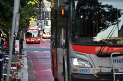
Washington, D.C. will use bus-mounted cameras to issue citations to drivers who block bus lanes and bus stops, reports Jordan Pascale in DCist. “The goal is to reduce trip times, decrease operator stress, increase schedule adherence and reliability and improve bus stop accessibility. Metro says 64% of D.C. bus riders would see better service because of the bus lane enforcement.” According to Pascale, keeping bus lanes clear could speed up average bus speeds in the District from 10 miles per hour to 20 miles per hour.
The program will make Metro and the District Department of Transportation the first agencies to use cameras to ticket drivers for blocking bus stops, meaning a bus can’t approach as closely as it should. Four buses used as part of a test run each captured 60 violations daily. “The camera-equipped buses will first be rolled out on 31 routes that travel through bus lane areas like H and I streets NW in downtown, 14th Street in Columbia Heights, 16th Street NW, M Street SE, Martin Luther King Avenue SE, Pennsylvania Avenue S.E., and Minnesota Avenue S.E.”
The District has seen success with other automated traffic enforcement cameras that ticket drivers for speeding and other violations. However, there has also been a rise in fake or obscured license plates that limits the efficacy of camera enforcement programs.
Read the full story: D.C. Will Use Cameras To Ticket Drivers In Bus Lanes, At Bus Stops For First Time

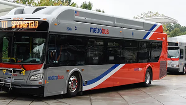
D.C. Delays Bus Lane Enforcement
The program using cameras to ticket drivers who block bus lanes was scheduled to begin this week.
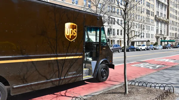
UPS trucks blocked NYC bus lanes 25,000 times last year
The city recorded 843,000 bus lane violations in 2025.
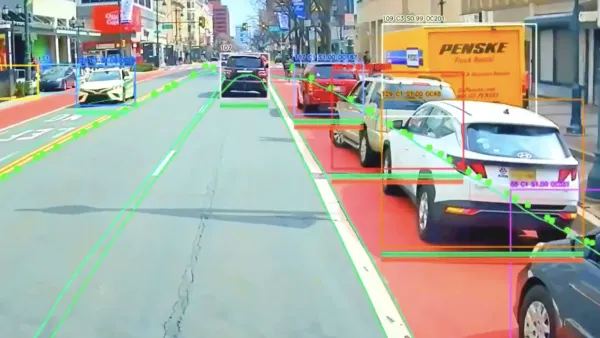
AI-Powered Bus Lane Cameras Are Speeding up Buses by up to 36%
More cities are turning to automated enforcement to keep bus lanes clear of cars and improve service.

Planetizen Federal Action Tracker
A weekly monitor of how Trump’s orders and actions are impacting planners and planning in America.

California plans to bury El Niño’s downpour
If the state plays its cards right, it may be able to store a billion acre-feet of El Niño’s water in aquifers.

Desperate measures: Advocates weigh draining Lake Powell to fill Colorado River
Draining the reservoir could reduce evaporation losses by a couple hundred thousand acre-feet.

Metra may invest $9.1 billion in regional rail
The agency released a draft of a study examining potential ways to offer more frequent train service.

California city breaks ground on transit connector
The project includes three mobility hubs and a pedestrian bridge.

After public outcry, Massachusetts city releases housing development tracker
Cambridge’s tracker currently shows 250 housing projects in various stages of development.

FREE Course: Walkable City 1: Why Walkability?
After describing his path towards focusing on walkability as the essence of good planning, Jeff Speck marches through his five principal reasons for making more walkable places.
Reinventing Malls: Planning Alchemy—Turning Gray Fields Into Gold
The course focuses on the opportunities and imperatives that shape reinvention of mall sites.

City of Rosemead
Rutgers University, Edward J. Bloustein School of Planning and Public Policy
One Hundred Miles
Hunter College, City University of New York (CUNY)
The Architects Foundation
University of Cincinnati Online
City of Cambridge
Montrose County
The Pocatello Development Authority