Arterial roads and poorly designed intersections pose significant threats to cyclist and pedestrian safety.


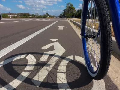
In a collaboration with BikeMaps.org dubbed the #2020CyclingDeaths project, Maura Fox and Luke Whelan assess cycling deaths on American roads in the past year to see where, how, and how many bicyclists are dying. "Record numbers of cyclists (and thousands of pedestrians) on our nation’s roads are being killed by drivers often without any media attention beyond a brief local news story," the authors write.
Their study captured 697 deaths between January 2020 and January 2021. "Since we were only able to count deaths reported by local media, the actual total is likely significantly higher." BikeMaps.org, a project started by Trisalyn Nelson, crowdsources information about cyclist crashes, near misses, traffic hazards, and bike thefts in the United States and Canada.
Key takeaways from the study show that more than a quarter of crashes are hit-and-runs, and cycling deaths occur all over (project data came from 47 states), with the highest numbers of deaths occurring in California and Florida, followed by New York and Texas. Surprisingly, rural, suburban, and urban areas have similar rates of cycling deaths. Despite lower density and less traffic, rural roads aren't designed to protect people on bikes. According to the data, the most dangerous place for cyclists is an arterial road, "a busy, multilane thoroughfare with traffic signals at intersections and speeds limits exceeding 30 miles per hour," which account for 65% of fatal crashes.
The authors suggest some solutions for planners and policymakers, including incorporating a car’s potential risk to cyclists and pedestrians with vehicle-safety ratings, improving education for drivers, and incentivizing cycling to induce more ridership.
FULL STORY: What We Learned from Tracking Cycling Deaths for a Year

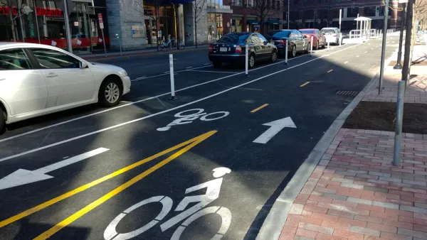
Nation's Top Safety Board Recommends Protected Bike Lanes
The NTSB chair issued a stark warning on Nov. 5: "If we do not improve roadway infrastructure for bicyclists, bicyclists will die who otherwise would not," stated Robert Sumwalt in introducing their first report in 47 years devoted to bike safety.
Op-ed: True bike safety requires more than the 'Dutch reach'
Making roads safe for all users takes policy and cultural changes that go beyond small behavioral interventions.
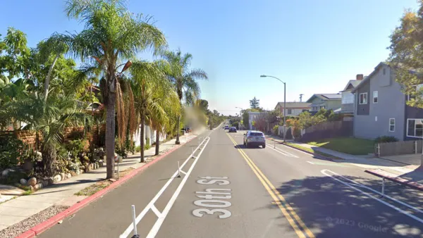
After San Diego Installed a Protected Bike Lane, Ridership More Than Doubled — and Hasn’t Stopped Growing.
“When people feel safe, they ride.”

Planetizen Federal Action Tracker
A weekly monitor of how Trump’s orders and actions are impacting planners and planning in America.

The state-sanctioned urbicide of Austin
People don’t kill cities. Freeways do.

US to reduce Colorado River water deliveries to Mexico
A new Colorado Treaty amendment reduces Mexico’s Colorado River water allocation by 250,000 acre feet.

Colorado’s Largest Data Center Could Rise Next to Homes — Without a Public Hearing
The proposed campus would consume 11 times the power of Denver International Airport; as it has across the country, opposition mounts.

5 New England states march closer to 800 megawatt wind energy project
Securing federal approval for the project may be complicated under the Trump administration, which has historically been hostile towards domestic wind power.

Baltimore to break ground on $50 million Transit Priority Project
The project will bring faster bus trips, safer streets and better bike connections to Baltimore.

FREE Course: Walkable City 1: Why Walkability?
After describing his path towards focusing on walkability as the essence of good planning, Jeff Speck marches through his five principal reasons for making more walkable places.
Reinventing Malls: Planning Alchemy—Turning Gray Fields Into Gold
The course focuses on the opportunities and imperatives that shape reinvention of mall sites.

Eagle County Government
Harvard University Graduate School of Design
Nashville Planning Department
The Architects Foundation
University of Cincinnati Online
The Pocatello Development Authority
The Urban Renewal Agency of the City of Pocatello
Journal of the American Planning Association