


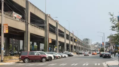
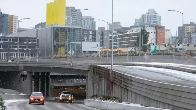
There will be no road closures, no traffic bans, no loss of parking, and no new transit lines opening. Call it the "tolling effect" on Nov. 9 when motorists have to pay to drive through the two-mile State Route 99 tunnel that opened last February.

"Traffic inside the new SR 99 tunnel could see a big reduction when the tolls go into effect next month, state and city transportation leaders told the Seattle City Council on Monday," reports Kara Kostanich of KOMO News.
The Washington State Department of Transportation [WSDOT] says between 30% and 50% of the more than 80,00 drivers who use the tunnel daily could divert out of the tunnel when tolling starts on November 9.
WSDOT predicts drivers will use transit, work from home or find alternatives routes.
Five thousand cars travel through the tunnel every hour during during peak times. After tolling starts, that number is expected to drop to around 3,200 vehicles per hour [36% reduction].
Officials predict that after initial drop, traffic through the tunnel will creep back up over the next few months settling around 4,200 cars per hour [16% reduction].
Tolls, while 24/7 and bi-directional, are modest for the two-mile, four-lane tunnel (two lanes in each direction), ranging from $1.00 to $2.25, depending on the day, time and direction for those with a "Good To Go!" pass. Add $2 for "Pay-By Mail".
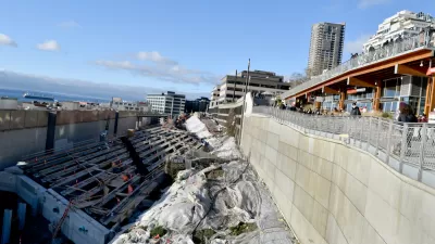
And the tolls are not punitive. As posted earlier, the state legislature determined in 2012 that tolling would be needed to raise $200 million of the $3.3 billion it cost for the Alaskan Way Viaduct Replacement Program (including $223 million from cost overruns due to "Bertha" tunneling woes) and cover ongoing operation and maintenance costs.
The tunnel opened to traffic on February 3.
Related in Planetizen:
-
New Marketing Campaign: Pushing People to Drive More in Seattle, January 27, 2019
-
Setting the Toll for New Seattle Tunnel, May 31, 2018
Hat tip to IBTTA Smart Brief.
FULL STORY: SR 99 tunnel traffic to take at least a 30% hit from tolling

A Permanent Decline in Revenue Forecasted for the Tunnel Bertha Built in Seattle
Public transit isn't the only mode struggling to attract the expected number of users in 2022. State Route 99 in Downtown Seattle is also failing to live up to expectations and struggling to make ends meet.
Setting the Toll for New Seattle Tunnel
The Washington State Transportation Commission has begun the planning process to determine the toll schedule for the tunnel that replaces part of the Alaskan Way Viaduct that opens this fall. They must raise six percent of the $3.3 billion cost.
Seattle Emerges From Tolled Tunnel Unscathed
Promises of congestion and thousands of cars spilling on to quiet residential streets proved unfounded after the first week with tolls on the Highway 91 tunnel in Seattle.

Montreal Mall to Become 6,000 Housing Units
Place Versailles will be transformed into a mixed-use complex over the next 25 years.

Planetizen Federal Action Tracker
A weekly monitor of how Trump’s orders and actions are impacting planners and planning in America.

DARTSpace Platform Streamlines Dallas TOD Application Process
The Dallas transit agency hopes a shorter permitting timeline will boost transit-oriented development around rail stations.

Study: 4% of Truckers Lack a Valid Commercial License
Over 56% of inspected trucks had other violations.

Chicago Judge Orders Thousands of Accessible Ped Signals
Only 3% of the city's crossing signals are currently accessible to blind pedestrians.

Philadelphia Swaps Car Lanes for Bikeways in Unanimous Vote
The project will transform one of the handful of streets responsible for 80% of the city’s major crashes.
Urban Design for Planners 1: Software Tools
This six-course series explores essential urban design concepts using open source software and equips planners with the tools they need to participate fully in the urban design process.
Planning for Universal Design
Learn the tools for implementing Universal Design in planning regulations.
City of Mt Shasta
City of Camden Redevelopment Agency
City of Astoria
Transportation Research & Education Center (TREC) at Portland State University
US High Speed Rail Association
City of Camden Redevelopment Agency
Municipality of Princeton (NJ)