A social network analysis, touted as the largest ever, reveals the importance of mobility for social connections.


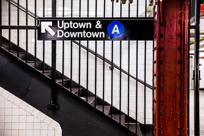
"How do people meet, and maintain ties, in the big city?"
According to new research shared by Henry Grabar, in New York City, the main factor determining the answer to that question is transit time—which depends on transit lines.
"Call it the 'Take the ‘A’ Train' theory of socializing, after the Billy Strayhorn tune about the subway line that links Harlem and Bed-Stuy," writes Grabar.
The findings are from a working paper posted this month with the National Bureau of Economic Research, and led by Michael Bailey. The researchers claim they "have assembled the most comprehensive portrait to date of a city’s social network," reports Grabar.
Here, Grabar summarizes the findings of the study: "A 10 percent greater distance between two ZIP codes was associated with a decline in social connectedness of 8.7 percent. A 10 percent greater increase in cab cost was associated with a 10.6 decline in social connectedness. And a 10 percent greater public transit time is associated with 14.2 percent lower social connectedness."
Read the full story: What Determines Your Social Network? In New York, Your Subway Line.

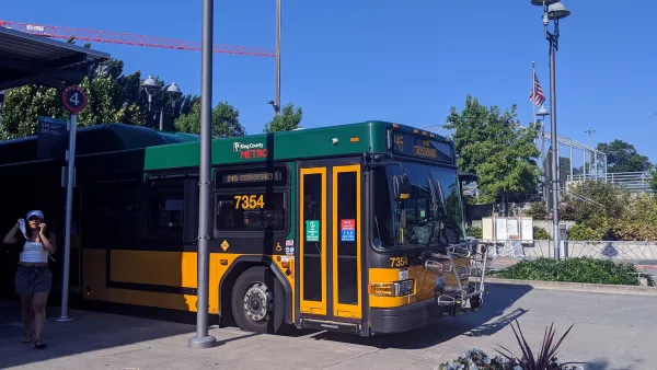
King County Metro adds 3,000 weekly bus trips, more connections to rail
King County Metro and Sound Transit are both making major adjustments to their bus networks to improve light rail connectivity across the region.
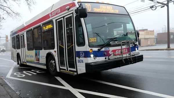
Pennsylvania lawmaker wants to ban fully self-driving buses
State Rep. Ben Waxman's proposed bill would require autonomous buses to have a licensed driver on board.
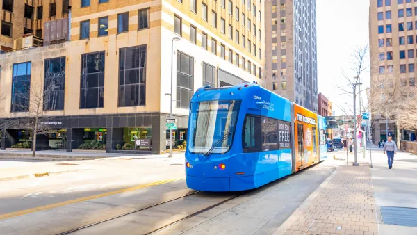
OKC streetcar will stay fare-free after ridership shot up 74%
The downtown streetcar saw a surge in ridership after it eliminated fares in January.

Planetizen Federal Action Tracker
A weekly monitor of how Trump’s orders and actions are impacting planners and planning in America.

The state-sanctioned urbicide of Austin
People don’t kill cities. Freeways do.

US to reduce Colorado River water deliveries to Mexico
A new Colorado Treaty amendment reduces Mexico’s Colorado River water allocation by 250,000 acre feet.

Nation's most wind-powered state turns to coal as data centers increase energy demand
For the first time in decades, Iowa has increased its generation of coal power.

NYC cools commuters with city's first rain garden above a bus stop
New York City officials say the plants in the rain garden can absorb 16 gallons of rainwater during heavy storms.

Brightline West’s future may rely on $6 billion federal loan
The company has until Nov. 2 to make a $400 million equity investment into its proposed high-speed rail line.

FREE Course: Walkable City 1: Why Walkability?
After describing his path towards focusing on walkability as the essence of good planning, Jeff Speck marches through his five principal reasons for making more walkable places.
Reinventing Malls: Planning Alchemy—Turning Gray Fields Into Gold
The course focuses on the opportunities and imperatives that shape reinvention of mall sites.

Greater Baltimore Committee
Eagle County Government
Harvard University Graduate School of Design
The Architects Foundation
University of Cincinnati Online
The Pocatello Development Authority
The Urban Renewal Agency of the City of Pocatello
Journal of the American Planning Association