


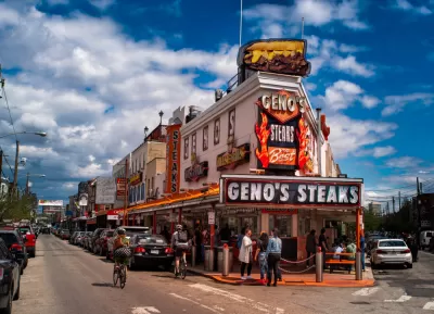
A new study considers urban form, roadway characteristics, traffic collisions, and fatalities in the Philadelphia region, to show that the densest parts of regions are the safest places to drive and walk.
"New research from the University of Pennsylvania [pdf] shows that denser cities and towns can save lives," reports Ryan Briggs.
"The four-year long study compared Pennsylvania Department of Transportation records of all car accidents in a five-county region with population data, socioeconomic factors, different road types, and other factors," explains Briggs. "The resulting analysis, which examined collision data from 2010 and 2014, showed that the densest parts of the region –– like downtown Philly or suburban town centers –– had lower accident rates than more sprawling areas."
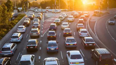
One key distinction in the data emerges when comparing pedestrian and vehicle safety. "While denser sections of the suburbs had lower accident rates overall, drivers fared better than pedestrians. Densely populated areas in the suburbs and some outlying Philadelphia neighborhoods actually experienced higher rates of vehicle/pedestrian collisions than sparsely populated areas," according to Briggs.
As noted by Briggs, the study has implications for transportation planning in every corner of the Philadelphia region, where communities have been built across a broad spectrum of development and planning history. Erick Guerra, co-author of the study and an assistant professor of urban planning at Penn, is quoted in the article saying that the study should inform where and how the region grows in the future.
FULL STORY: City streets safer than suburban roads, study finds


Planning for Congestion Relief
The third and final installment of Planetizen's examination of the role of the planning profession in both perpetuating and solving traffic congestion.
How Planning Fails to Solve Congestion
Solutions for congestion are never as simple and easy as armchair planners and engineers would like you to believe—especially those who suggest that congestion can be solved by forever building more roadway capacity.

Planning and the Complicated Causes and Effects of Congestion
What do planners know about congestion, and what can they do about it? Explanations and solutions are less obvious than they seem (part one of a three-part series).

Planetizen Federal Action Tracker
A weekly monitor of how Trump’s orders and actions are impacting planners and planning in America.

DARTSpace Platform Streamlines Dallas TOD Application Process
The Dallas transit agency hopes a shorter permitting timeline will boost transit-oriented development around rail stations.

Four Reasons Urban Planners Can’t Ignore AI
It’s no longer a question of whether AI will shape planning, but how. That how is up to us.

Amtrak’s Borealis Exceeds First Year Ridership Expectations
205,800 passengers have boarded the St. Paul to Chicago line, well above initial MDOT projections.

Study: 4% of Truckers Lack a Valid Commercial License
Over 56% of inspected trucks had other violations.

Chicago Judge Orders Thousands of Accessible Ped Signals
Only 3% of the city's crossing signals are currently accessible to blind pedestrians.
Urban Design for Planners 1: Software Tools
This six-course series explores essential urban design concepts using open source software and equips planners with the tools they need to participate fully in the urban design process.
Planning for Universal Design
Learn the tools for implementing Universal Design in planning regulations.
City of Mt Shasta
City of Camden Redevelopment Agency
City of Astoria
Transportation Research & Education Center (TREC) at Portland State University
US High Speed Rail Association
City of Camden Redevelopment Agency
Municipality of Princeton (NJ)