Metro is analyzing new geolocational data to look beyond conventional understandings of travel behavior.


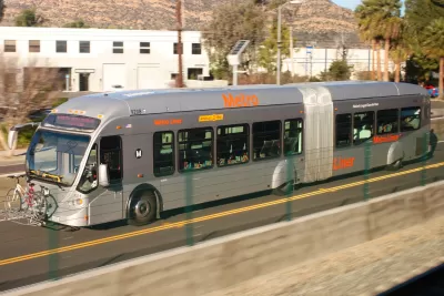
Adam Rogers reports on efforts at the Los Angeles County Metropolitan Transportation Authority to better understand how people travel and the ways bus service could be revamped to meet these needs and entice people to switch modes.
Using locational data from cell phones, Conan Cheung at Metro found the expected morning and afternoon peaks related to schools and work. But the data also showed a third peak, one that is not commute related, says Rogers:
That was new. "What we know from traditional surveys is, people remember their biggest trips," [Anurag] Komanduri says. "But what people forget is 'I'm picking up the laundry,' 'I'm stopping to grab coffee.' We see more of these data captured by cell phones." Those trips, the futzing around of daily life, tend to happen in off-peak hours—from midday into the evening, 8 or 9 o'clock.
A closer look at these short trips compared transit and driving trip times. "Some 85 percent of trips could be taken on mass transit, but fewer than half were as fast as driving," writes Rogers. And when more comparisons were made using fare card data, Cheung discovered that on routes with the same travel time, only 13 percent of that travel happened on transit.
The challenge, says Rogers, is figuring out how to use and balance the incentives for transit use and the disincentives for driving—the carrots and the sticks. Improving transit service, increasing housing density, and implementing congestion pricing are all strategies that can help get people out of their cars.
But he also argues that Los Angeles needs to take bold steps to stop designing the city around driving. "This is the baller move: Stop making cars easy and everything else hard. Tear down some freeways. Make retail districts pedestrian-only. Strew commercial corridors with curbside parklets, protected bike lanes, scooter-share services, and apartment buildings with first-floor retail and no parking. Make it illegal to park on the street—on every street. Put buses and trains everywhere."
FULL STORY: LA’S PLAN TO REBOOT ITS BUS SYSTEM—USING CELL PHONE DATA

The Environmental Costs of Slow, Empty Buses
Flagging ridership on Metro buses in Los Angeles redoubles the need to speed buses up with dedicated lanes, hopefully recovering lost riders and finding some news ones along the way, too.
NextGen Bus Plan Approved in Los Angeles
Major changes are coming to the Metro bus system in the nation's second largest city. After three years of planning and public feedback, the Metro board has approved the NextGen bus plan.
Bus Ridership Declines Challenge Los Angeles
The Wall Street Journal reports that bus riders on the Los Angeles County Transportation Authority system has declined significantly in recent years.

Planetizen Federal Action Tracker
A weekly monitor of how Trump’s orders and actions are impacting planners and planning in America.

The state-sanctioned urbicide of Austin
People don’t kill cities. Freeways do.

US to reduce Colorado River water deliveries to Mexico
A new Colorado Treaty amendment reduces Mexico’s Colorado River water allocation by 250,000 acre feet.

LA Metro’s ultimatum: no extra buses for LA28 if federal funding isn’t imminently secured
If Metro does not provide additional buses, LA28 organizers will have to find a new way to manage Olympic traffic. LA28’s budget does not include a line item for transit.

Colorado’s Largest Data Center Could Rise Next to Homes — Without a Public Hearing
The proposed campus would consume 11 times the power of Denver International Airport; as it has across the country, opposition mounts.

5 New England states march closer to 800 megawatt wind energy project
Securing federal approval for the project may be complicated under the Trump administration, which has historically been hostile towards domestic wind power.

FREE Course: Walkable City 1: Why Walkability?
After describing his path towards focusing on walkability as the essence of good planning, Jeff Speck marches through his five principal reasons for making more walkable places.
Reinventing Malls: Planning Alchemy—Turning Gray Fields Into Gold
The course focuses on the opportunities and imperatives that shape reinvention of mall sites.

Eagle County Government
Harvard University Graduate School of Design
Nashville Planning Department
The Architects Foundation
University of Cincinnati Online
The Pocatello Development Authority
The Urban Renewal Agency of the City of Pocatello
Journal of the American Planning Association