


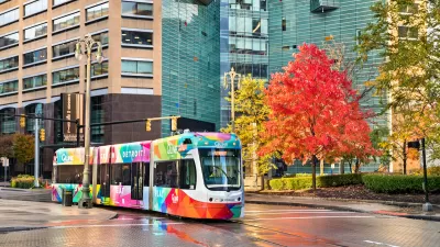
A survey of land use policies in cities and counties of California is designed to inform a more complete understanding of the housing market, sustainability, and economic mobility in the state.

"The Terner Center for Housing Innovation at UC Berkeley has published the California Land Use Data Set, a comprehensive survey which looks at policies that affect the production, location, and preservation of housing in the state at the jurisdiction-level," according to an announcement from the University of California, Berkeley College of Environmental Design.
The survey collected data from August 2017 to October 2018, working in partnership with the California Department of Housing and Community Development. "The data set includes survey responses from 252 cities and 19 unincorporated county areas, and touches on issues from how land is zoned for different uses to the process a project goes through to get approved to policies aimed at producing affordable housing."
The survey "considers the effects of local land use policy on the supply of housing in a region, as well as its effects on sustainability, economic mobility, and access to neighborhoods and opportunity," according to the announcement. "It will help citizens and policy makers alike understand how cities in California are approaching the use of their land, and with what effect on the quantity, accessibility, and affordability of their housing."
The survey results are supplemented by a report [pdf] that provides several frames for understanding the results of the survey.
FULL STORY: TERNER CENTER PUBLISHES CALIFORNIA LAND USE DATA SET

The Link Between Transit Access and Employment
Inadequate access to transportation hinders many Americans’ access to job opportunities.

The Right to Mobility
As we consider how to decarbonize transportation, preserving mobility, especially for lower- and middle-income people, must be a priority.
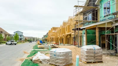
The Housing Affordability Recipe
Smart policies can ensure that low- and moderate-income households can find suitable housing in good neighborhoods where transportation costs are low. The research is clear: upzoning works.

Planetizen Federal Action Tracker
A weekly monitor of how Trump’s orders and actions are impacting planners and planning in America.

Congressman Proposes Bill to Rename DC Metro “Trump Train”
The Make Autorail Great Again Act would withhold federal funding to the system until the Washington Metropolitan Area Transit Authority (WMATA), rebrands as the Washington Metropolitan Authority for Greater Access (WMAGA).

DARTSpace Platform Streamlines Dallas TOD Application Process
The Dallas transit agency hopes a shorter permitting timeline will boost transit-oriented development around rail stations.

Supreme Court Ruling in Pipeline Case Guts Federal Environmental Law
The decision limits the scope of a federal law that mandates extensive environmental impact reviews of energy, infrastructure, and transportation projects.

Texas State Bills to Defund Dallas Transit Die
DART would have seen a 30% service cut, $230M annual losses had the bills survived.

Bikeshare for the Win: Team Pedals to London Cricket Match, Beats Rivals Stuck in Traffic
While their opponents sat in gridlock, England's national cricket team hopped Lime bikes, riding to a 3-0 victory.
Urban Design for Planners 1: Software Tools
This six-course series explores essential urban design concepts using open source software and equips planners with the tools they need to participate fully in the urban design process.
Planning for Universal Design
Learn the tools for implementing Universal Design in planning regulations.
Roanoke Valley-Alleghany Regional Commission
City of Mt Shasta
City of Camden Redevelopment Agency
City of Astoria
Transportation Research & Education Center (TREC) at Portland State University
US High Speed Rail Association
City of Camden Redevelopment Agency
Municipality of Princeton (NJ)