


A campaign to lid Interstate 5 is gaining steam. Proponents are envisioning central Seattle before the freeway ran through it.
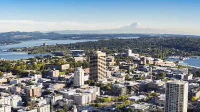
A proposal to build a freeway lid over Interstate 5 in central Seattle is gaining political support, with a number of city councilmembers and state representatives backing the idea. In October, a volunteer collaboration released conceptual designs for the Lid I-5 campaign, reports Natalie Bicknell:
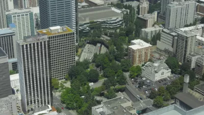
Offering sophisticated glimpses into the potential future uses of the freeway lid, the conceptual designs showcase amenities such as open space, affordable housing, increased pedestrian and bicycle connections, public schools, and different scales of commercial development that could all be incorporated into the downtown core with the construction of a freeway lid covering the currently vacant space above the I-5 corridor.
A feasibility study is next on the agenda. The Office of Planning and Community Development received $1.5 million to fund the study, which will identify opportunities from lidding the freeway trench, such as expansion of utilities and development of green infrastructure.
“The City needs to think of bigger and more ambitious solutions for climate change, including increasing urban density and green infrastructure, both of which would facilitated by lidding I-5,” says Bicknell.
FULL STORY: Lid I-5 Campaign Gains Momentum, High Profile Support

I-5 Study Shows Benefits of Capping Urban Freeways
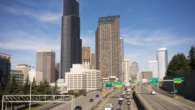
Putting a lid on the interstate through downtown Seattle could create new space for parks and housing, reduce pollution, and reconnect the disrupted street grid.

End of Seattle Freeway and Tunnel Is a Green Opportunity
A community initiative says demolition of the Alaskan Way Viaduct and closure of the Battery Street Tunnel offer a chance to turn a series of green infrastructure ideas into reality.
Seattle Quietly Unveils New Interstate Lane
The Washington Department of Transportation expanded part of I-5 in hopes of reducing a common traffic bottleneck.

Planetizen Federal Action Tracker
A weekly monitor of how Trump’s orders and actions are impacting planners and planning in America.

Congressman Proposes Bill to Rename DC Metro “Trump Train”
The Make Autorail Great Again Act would withhold federal funding to the system until the Washington Metropolitan Area Transit Authority (WMATA), rebrands as the Washington Metropolitan Authority for Greater Access (WMAGA).

DARTSpace Platform Streamlines Dallas TOD Application Process
The Dallas transit agency hopes a shorter permitting timeline will boost transit-oriented development around rail stations.

Renters Now Outnumber Homeowners in Over 200 US Suburbs
High housing costs in city centers and the new-found flexibility offered by remote work are pushing more renters to suburban areas.

The Tiny, Adorable $7,000 Car Turning Japan Onto EVs
The single seat Mibot charges from a regular plug as quickly as an iPad, and is about half the price of an average EV.

Supreme Court Ruling in Pipeline Case Guts Federal Environmental Law
The decision limits the scope of a federal law that mandates extensive environmental impact reviews of energy, infrastructure, and transportation projects.
Urban Design for Planners 1: Software Tools
This six-course series explores essential urban design concepts using open source software and equips planners with the tools they need to participate fully in the urban design process.
Planning for Universal Design
Learn the tools for implementing Universal Design in planning regulations.
Municipality of Princeton
Roanoke Valley-Alleghany Regional Commission
City of Mt Shasta
City of Camden Redevelopment Agency
City of Astoria
Transportation Research & Education Center (TREC) at Portland State University
US High Speed Rail Association
City of Camden Redevelopment Agency
Municipality of Princeton (NJ)