Putting a lid on the interstate through downtown Seattle could create new space for parks and housing, reduce pollution, and reconnect the disrupted street grid.


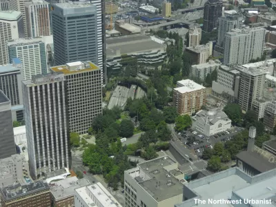
Doug Trumm reports on Seattle's "quiet" release of the Lid I-5 Feasibility Study, which highlights the benefits of capping freeways in cities. The report, funded through a community benefits package from the Washington State Convention Center expansion project, was "designed to understand the technical and financial feasibility of lidding the freeway and to look at opportunities for maximizing public benefits."
Trumm assesses the top takeaways from the study, which analyzed the potential impacts and effects of putting a "lid" on a 17-acre area of Interstate 5. According to the study, the lid could accommodate a 2.5-9.8 acre park, reconnect the street grid, reduce noise pollution, and improve stormwater drainage. The project would also create more space for housing construction in Seattle's dense downtown. "WSP did some structural engineering analysis to determine how much development could go atop the lid, and, while each section is different, the short answer is a lot. Bicknell’s 2019 article on earlier lid feasibility research had hinted midrise and some highrise development was possible. The final report estimated up to 4.7 million square feet of new housing is feasible–enough space for 4,500 homes–and between two and five million square feet of commercial/office space."
Lid I-5 Seattle's Scott Bonjukian told The Urbanist that "getting some more money for studies and planning in the next state transportation package is the next major goal."
Read the full story: 8 Takeaways from Seattle’s Lid I-5 Feasibility Study
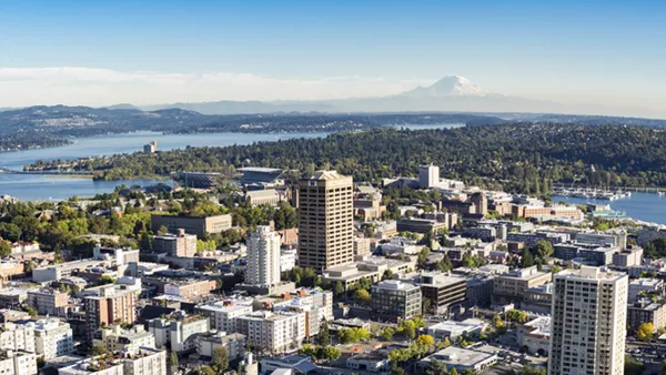
Seattle Freeway Lid Idea Moves Forward
A campaign to lid Interstate 5 is gaining steam. Proponents are envisioning central Seattle before the freeway ran through it.
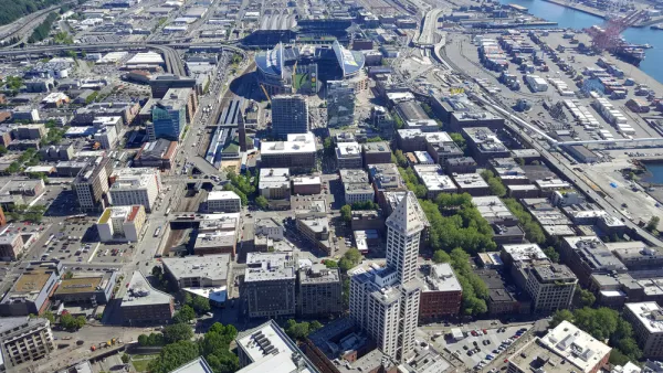
Seattle Releases RFP for Lid I-5 Study
The plan to top I-5 in Seattle with a cap park—what writer Natalie Bicknell calls "the most ambitious effort in our region"—is moving ahead with a $1.5 million feasibility study.
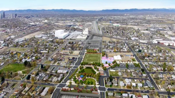
Freeway Cap Book Manuscript Online for Review and Comment
The first comprehensive manual for planning, funding, and building a freeway cap is put online for review and comment.

Planetizen Federal Action Tracker
A weekly monitor of how Trump’s orders and actions are impacting planners and planning in America.

Eastern Nebraska is running out of electricity
Data centers and electrification are straining eastern Nebraska’s grid, throttling economic development.

Study reveals best places in the U.S. for cycling, walking
New research from Streetlight Data examines bicycle and pedestrian miles per capita in the 100 largest U.S. cities by population.

As Texas embraces carbon storage, a Black community questions the risks
Texas now issues permits for companies to store carbon dioxide underground. East Texas residents fear safety risks, and skeptics doubt the climate benefits.

New BLM proposal would slash public comment periods, environmental protections
The proposed rewrite would also strip legal leverage from Tribal nations and state governments.

DSA members accuse Mamdani of 'abandoning values' over housing redevelopment
New York City's mayor plans to replace about 2,000 units of public housing with private, mixed-income housing.

FREE Course: Walkable City 1: Why Walkability?
After describing his path towards focusing on walkability as the essence of good planning, Jeff Speck marches through his five principal reasons for making more walkable places.
Reinventing Malls: Planning Alchemy—Turning Gray Fields Into Gold
The course focuses on the opportunities and imperatives that shape reinvention of mall sites.


City of Rosemead
Rutgers University, Edward J. Bloustein School of Planning and Public Policy
One Hundred Miles
University of Michigan School for Environment and Sustainability (SEAS)
Hunter College, City University of New York (CUNY)
The Architects Foundation
City of Cambridge
The Pocatello Development Authority
The Urban Renewal Agency of the City of Pocatello