


How approaching transportation planning through a public health lens can reduce traffic deaths.
In an interview with Streetsblog for The Brake podcast, outgoing head of Washington state’s Department of Transportation Roger Millar describes why he believes including public health in Vision Zero discussions is key to saving more lives and making U.S. streets and roads safer and healthier for the people who use and live around them.
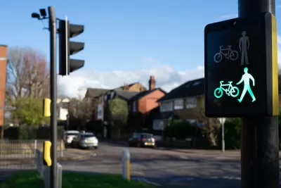
Discussing Washington’s “safe systems” framework — an approach that prioritizes road design that minimizes the potential harm caused by inevitable human error — Millar notes his focus on “safe land use.” In this view, “What all car crashes have in common is cars. And if you have a threat to public health, the public health community says the first thing you do is, you separate people from the threat.”
For Millar, “if we can create spaces, communities, neighborhoods, centers that are built around mobility or access that does not involve an automobile, or that minimizes the use of automobile, we would be safer. We have to have this safer land use component to the safe systems.”
FULL STORY: What’s Missing From the Safe Systems Approach


US Street Design Manual Inches Toward Safer Roads
The guiding document for U.S. road design is starting to recognize the needs of people walking and biking, but safe streets advocates say more significant changes are needed to reduce the high number of pedestrian deaths and improve connectivity for all road users.

‘Complete Streets’ Webpage Deleted in Federal Purge
Basic resources and information on building bike lanes and sidewalks, formerly housed on the government’s Complete Streets website, are now gone.
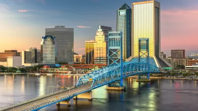
Jacksonville Takes Action on Vision Zero
The city is implementing its first-ever Vision Zero Action Plan in an effort to reduce pedestrian and cyclist deaths and serious injuries.

Maui's Vacation Rental Debate Turns Ugly
Verbal attacks, misinformation campaigns and fistfights plague a high-stakes debate to convert thousands of vacation rentals into long-term housing.

Planetizen Federal Action Tracker
A weekly monitor of how Trump’s orders and actions are impacting planners and planning in America.

In Urban Planning, AI Prompting Could be the New Design Thinking
Creativity has long been key to great urban design. What if we see AI as our new creative partner?

Pedestrian Deaths Drop, Remain Twice as High as in 2009
Fatalities declined by 4 percent in 2024, but the U.S. is still nowhere close to ‘Vision Zero.’

King County Supportive Housing Program Offers Hope for Unhoused Residents
The county is taking a ‘Housing First’ approach that prioritizes getting people into housing, then offering wraparound supportive services.

Researchers Use AI to Get Clearer Picture of US Housing
Analysts are using artificial intelligence to supercharge their research by allowing them to comb through data faster. Though these AI tools can be error prone, they save time and housing researchers are optimistic about the future.
Urban Design for Planners 1: Software Tools
This six-course series explores essential urban design concepts using open source software and equips planners with the tools they need to participate fully in the urban design process.
Planning for Universal Design
Learn the tools for implementing Universal Design in planning regulations.
planning NEXT
Appalachian Highlands Housing Partners
Mpact (founded as Rail~Volution)
City of Camden Redevelopment Agency
City of Astoria
City of Portland
City of Laramie