


Supporters of a stalled streetcar project say reviving the line would create more transit connections and boost economic development in the area.
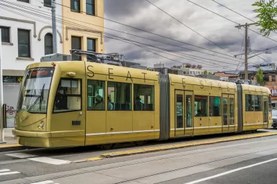
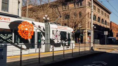
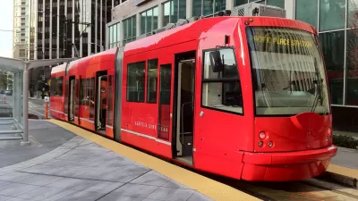
A shelved streetcar project in downtown Seattle could be revived under a plan by the Downtown Seattle Association (DSA), with support from the new director of the city’s department of transportation (SDOT).
According to Doug Trumm, writing for The Urbanist, “The Center City streetcar would run along First Avenue and Stewart Avenue and close a 1.3-mile-long gap between Seattle’s existing but unconnected lines: the South Lake Union Streetcar and the First Hill Streetcar.” The added segment would bring the Seattle streetcar system to five miles and serve up to 20,000 daily riders, according to projections.
Boosters like the DSA hope the streetcar will stimulate more economic development in the downtown core and encourage more transit-oriented development along the route, particularly if paired with zoning changes. SDOT director Greg Spotts “proposed a ‘cultural connector’ app to pair with the streetcar and encourage its use by offering the all-day ride pass and wayfinding and tips for nearby attractions.”
While the vision is there, funding for the project, which was last estimated at $285 million in 2019, is less clear, though supporters argue federal grants could cover much of the cost. Trumm adds, “The Downtown Seattle Association is hoping that the City can take steps toward lining up funding and restarting the project in 2023, potentially clearing a path to opening the Center City streetcar by 2026 in time for the World Cup matches in Seattle.”
FULL STORY: Streetcar Project Could Kickstart Downtown Recovery

Feasibility Study for Proposed Seattle Streetcar Loses Funding
The $1 million cut doesn’t bode well for the beleaguered project, which some city councilmembers see as redundant and overpriced.
Doubts Raised About Revenue Model for Seattle's Expanded Streetcar
Can an expansion of Seattle's streetcar system somehow outperform its previous iterations, and all other public transit modes in the city?
Seattle Streetcar Extension Looks Unlikely to Proceed
A proposal to extend the First Hill Streetcar along Broadway in Capitol Hill has lost the support of some of its key stakeholders and now looks very much in doubt.

Planetizen Federal Action Tracker
A weekly monitor of how Trump’s orders and actions are impacting planners and planning in America.

Maui's Vacation Rental Debate Turns Ugly
Verbal attacks, misinformation campaigns and fistfights plague a high-stakes debate to convert thousands of vacation rentals into long-term housing.

Restaurant Patios Were a Pandemic Win — Why Were They so Hard to Keep?
Social distancing requirements and changes in travel patterns prompted cities to pilot new uses for street and sidewalk space. Then it got complicated.

In California Battle of Housing vs. Environment, Housing Just Won
A new state law significantly limits the power of CEQA, an environmental review law that served as a powerful tool for blocking new development.

Boulder Eliminates Parking Minimums Citywide
Officials estimate the cost of building a single underground parking space at up to $100,000.

Orange County, Florida Adopts Largest US “Sprawl Repair” Code
The ‘Orange Code’ seeks to rectify decades of sprawl-inducing, car-oriented development.
Urban Design for Planners 1: Software Tools
This six-course series explores essential urban design concepts using open source software and equips planners with the tools they need to participate fully in the urban design process.
Planning for Universal Design
Learn the tools for implementing Universal Design in planning regulations.
Heyer Gruel & Associates PA
JM Goldson LLC
Custer County Colorado
City of Camden Redevelopment Agency
City of Astoria
Transportation Research & Education Center (TREC) at Portland State University
Jefferson Parish Government
Camden Redevelopment Agency
City of Claremont