Light rail transit only recently arrived in its contemporary form to the San Gabriel Valley—first to Pasadena in 2003 before heading further east into the valley in 2016. The future of public transit modes in the region are still under negotiation.


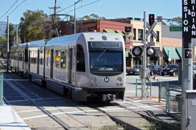
The San Gabriel Valley Council of Governments, the regional planning authority for a sprawling, populous swatch of Southern California, is ramping up its transit planning efforts, with the recent release of a "San Gabriel Valley Transit Feasibility Strategy" that includes 15 possible mass transit routes through the region.
Kristopher Fortin broke the news of the proposed transit alternatives for Streetsblog LA and provided a summary of the strategy's proposals. The strategy proposes eight potential east-west routes and seven north-south routes. "The modes being considered include a rapid bus that runs in mixed traffic lanes, express bus, bus rapid transit (BRT), light rail, and commuter rail," according to Fortin.
Fortin reported on the feasibility strategy in December 2020, when the work emerged from the ashes of a failed proposal to extend a light rail line (the L Line née Gold Line) along an alignment shared by State Highway 60, which connects Downtown Los Angeles to destinations farther east.
The Metro Board instead chose the Washington Boulevard alignment, but also "allocated $1.5 million toward the feasibility study, expected to determine how to spend $635 million in Measures M funds that had been set aside for the SGV L Line extension, but could shift to other SGV transit projects."
As noted by Fortin, the feasibility strategy is soliciting public feedback, although the survey does not ask questions specifically about the 15 route alternatives.
Read the full story: Study Maps 15 Alternatives for New San Gabriel Valley Transit Investment
Rail Redundancy Shouldn't Be Self-Destructive
Los Angeles Metro's new Gold Line light rail extension is attracting riders from the regional Metrolink commuter rail line that serves San Bernardino. The editorial board of the Daily Bulletin suggests that's not necessarily a problem.
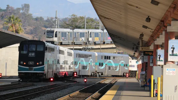
Light Rail Cannibalizing Commuter Rail in Southern California
New transit lines are usually intended to provide an alternative to driving. But what happens when a new train line provides an alternative to an older train line?
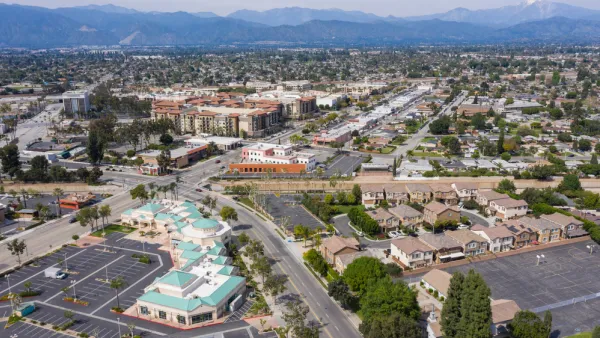
Southern California Officials Slow to Accept Complete Streets
Proposed changes to the Los Angeles County Transportation Authority's highway program would allow local governments the flexibility to implement complete street elements with new projects. The proposition has been a surprisingly tough sell.

Planetizen Federal Action Tracker
A weekly monitor of how Trump’s orders and actions are impacting planners and planning in America.

California plans to bury El Niño’s downpour
If the state plays its cards right, it may be able to store a billion acre-feet of El Niño’s water in aquifers.

Desperate measures: Advocates weigh draining Lake Powell to fill Colorado River
Draining the reservoir could reduce evaporation losses by a couple hundred thousand acre-feet.

US buildings threatened, destroyed by fires set to triple by 2060
Researchers found a high fire risk for socioeconomically vulnerable neighborhoods in the American West.

LA residents may be allowed to paint their own crosswalks
Councilwoman Katy Yaroslavsky put out a motion instructing the Los Angeles Department of Public Transportation to study the feasibility of allowing volunteers to paint crosswalks.

Dallas moves to overhaul its zoning code
The city's zoning reform will allow more multi-family and mixed-use developments.

FREE Course: Walkable City 1: Why Walkability?
After describing his path towards focusing on walkability as the essence of good planning, Jeff Speck marches through his five principal reasons for making more walkable places.
Reinventing Malls: Planning Alchemy—Turning Gray Fields Into Gold
The course focuses on the opportunities and imperatives that shape reinvention of mall sites.

City of Rosemead
Rutgers University, Edward J. Bloustein School of Planning and Public Policy
One Hundred Miles
Hunter College, City University of New York (CUNY)
The Architects Foundation
University of Cincinnati Online
City of Cambridge
Montrose County
The Pocatello Development Authority