


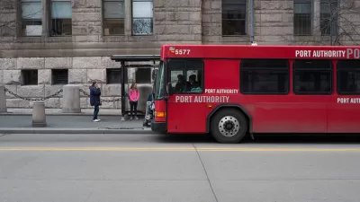
A long list of transit projects is included in the NEXTransit long-range plan approved recently by the Port Authority of Allegheny County.
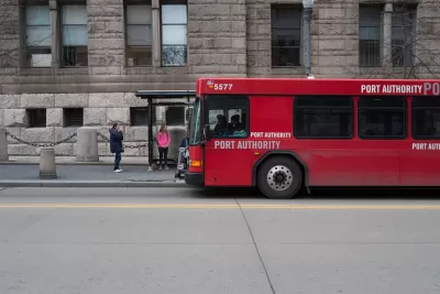
The Port Authority of Allegheny County approved a long-range plan that would spend $3.8 billion on transit over the next 25 years.
According to an article by Ed Blazina sharing the news, the NEXTransit long-range plan "will aim to reshape the landscape of public transportation in the Pittsburgh region."
"The plan, known as NEXTransit, calls for 18 projects to improve transit by adding service to some areas that don't have it now and improving service to other areas," reports Blazina.
The plan projects a phased approach for projects like an extension of the Luther King Jr. East Busway, improved service along Route 837 between Homestead and McKeesport, and a new transit corridor linking the Strip District to the Overbrook-Carrick area in the South Hills.
"Longer-term projects include extending the T light rail system from the North Side on wings to Bellevue and Ross; using the Parkway East and Parkway West to add bus-only lanes from Monroeville to the East Busway in Edgewood and from Pittsburgh International Airport to Downtown; and extending the West Busway to Bridgeville."
Click through to the source article for more specifics included in the NEXTransit plan.
FULL STORY: Taking the next step: Port Authority approves $3.8 billion, 25-year plan to overhaul Pittsburgh transit

Central Maryland Regional Transit Plan: First Regional Transit Plan for Baltimore Since 2002
Transit planners in the Baltimore area are working on plans for a more reliable, useful regional transit system.
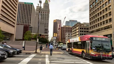
Bus Stop Consolidation Improving On-Time Performance in Pittsburgh
Pittsburgh-area buses operating on routes with a recently reduced number of stops are more likely to arrive on time than before the changes.
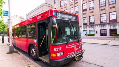
Pittsburgh to Oakland BRT Making Planning Progress
An ambitious plan to connect the Allegheny County cities of Pittsburgh and Oakland is proceeding to final stages of design, despite having fallen a little behind schedule for an expected 2021 opening date.

Planetizen Federal Action Tracker
A weekly monitor of how Trump’s orders and actions are impacting planners and planning in America.

Chicago’s Ghost Rails
Just beneath the surface of the modern city lie the remnants of its expansive early 20th-century streetcar system.

San Antonio and Austin are Fusing Into one Massive Megaregion
The region spanning the two central Texas cities is growing fast, posing challenges for local infrastructure and water supplies.

Since Zion's Shuttles Went Electric “The Smog is Gone”
Visitors to Zion National Park can enjoy the canyon via the nation’s first fully electric park shuttle system.

Trump Distributing DOT Safety Funds at 1/10 Rate of Biden
Funds for Safe Streets and other transportation safety and equity programs are being held up by administrative reviews and conflicts with the Trump administration’s priorities.

German Cities Subsidize Taxis for Women Amid Wave of Violence
Free or low-cost taxi rides can help women navigate cities more safely, but critics say the programs don't address the root causes of violence against women.
Urban Design for Planners 1: Software Tools
This six-course series explores essential urban design concepts using open source software and equips planners with the tools they need to participate fully in the urban design process.
Planning for Universal Design
Learn the tools for implementing Universal Design in planning regulations.
planning NEXT
Appalachian Highlands Housing Partners
Mpact (founded as Rail~Volution)
City of Camden Redevelopment Agency
City of Astoria
City of Portland
City of Laramie