A new analysis by Climate Central evaluates the intensity of urban heat islands in cities around the United States—New Orleans tops the list.



"The nonprofit research group Climate Central analyzed land cover in 160 cities, looking at things like the amount of pavement versus trees, population density and the heights and types of buildings to give each city a heat "index" or intensity score," explains an article by Barbara Moran.
Moran's coverage is focusing on Boston, which finished sixth on the heat index. New Orleans, Newark, and New York are the top three cities on the index.
"Jen Brady, a senior data analyst with Climate Central, said that scientists' understanding of urban heat has been evolving rapidly, and growing more sophisticated. To crunch the data for this study, she used a formula developed in 2020 that looked at 17 classes of land cover, and weighed certain heat contributors like reflective surface or 'albedo' higher than others, like population density," adds Moran.
Moran also points out the Climate Central study adds to a growing body of work finding evidence that heat disparities break down in along racial and class lines all over the United States.
FULL STORY: Study Ranks Boston 6th In Country For Heat Intensity, Tied With Chicago and Miami


How Extreme Heat Threatens the Electrical Grid
Higher demand for electricity and lower capacity for production due to more intense heat waves are straining the power grid and causing concern for future energy production.
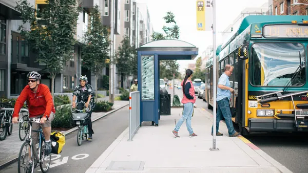
As Heat Waves Become More Common, Bus Shelters Are Needed to Keep Transit Riders Onboard
As climate change brings prolonged, intense heat waves to cities once associated with rain and cold weather will have to attend to the lack of shelter provided to bus and transit riders.
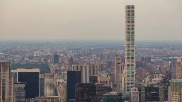
Report: Skyscrapers a Driving Factor of the Urban Heat Island Effect
As cities build upwards in an effort to create more housing and increase walkability, research shows that tall buildings intensify heat and contribute to increased carbon emissions.

The state-sanctioned urbicide of Austin
People don’t kill cities. Freeways do.

US to reduce Colorado River water deliveries to Mexico
A new Colorado Treaty amendment reduces Mexico’s Colorado River water allocation by 250,000 acre feet.

New Jersey’s second-largest city bans standalone data centers
Jersey City will continue to allow co-location facilities, such as those meant for research institutions that store their own data.

Amtrak not solely to blame for New Jersey commuter rail's unreliability, report finds
A new study from the Garden State Initiative found that NJ Transit’s budget grew 20% across a 4 year period, but reliability declined significantly over the same period.

EPA erases limits on planet-warming pollution from power plants
Under Monday’s plan, power plants would still have some limits on how much mercury, arsenic and other contaminants they can emit.

Phoenix announces new on-demand transit service, more frequent RAPID buses
Both new services will launch in October, and are part of Phoenix's Project Effective Access Solutions for Easing Congestion.

FREE Course: Walkable City 1: Why Walkability?
After describing his path towards focusing on walkability as the essence of good planning, Jeff Speck marches through his five principal reasons for making more walkable places.
Reinventing Malls: Planning Alchemy—Turning Gray Fields Into Gold
The course focuses on the opportunities and imperatives that shape reinvention of mall sites.

Eagle County Government
Harvard University Graduate School of Design
Nashville Planning Department
The Architects Foundation
University of Cincinnati Online
The Pocatello Development Authority
The Urban Renewal Agency of the City of Pocatello
Journal of the American Planning Association