Imagining a post-car (or car-lite) New York City.


Henry Grabar writes:
In the year since the pandemic shut down New York City, momentum has been building around the idea that the city ought to take back more space from cars. Especially while it’s still in partial hibernation.
The various phases of the pandemic have given repeated occasions for New Yorkers to witness what a city can be without cars filling every space to the brim and beyond.
"We no longer had to imagine a city that gave less of itself to automobiles; we were suddenly, sort of accidentally, living in it," write Grabar.
The Big Apple's low car ownership rates and high population density make it the natural candidate to push the experiment even further, according to Grabar, and one safe streets organization, Transportation Alternatives, has recently published a report called 25x25 that imagines the possibilities of closing one-quarter of the city's streets to automobiles by 2025.
Grabar lists some of the potential outcomes envisioned by the report, like 1,000 miles of pedestrian streets, a car-free block available for play in front of every public school in the city, 500 miles of bus lanes and 40 miles of busways, and 5.4 million square feet of street space available to local businesses and nonprofits, among many, many other possibilities.
The kicker for Grabar's take on the report: New York has the most expensive land in the world—more of it should do something other than store cars.
Read the full story: What New York Could Do if It Took a Quarter of Its Roads Away From Cars

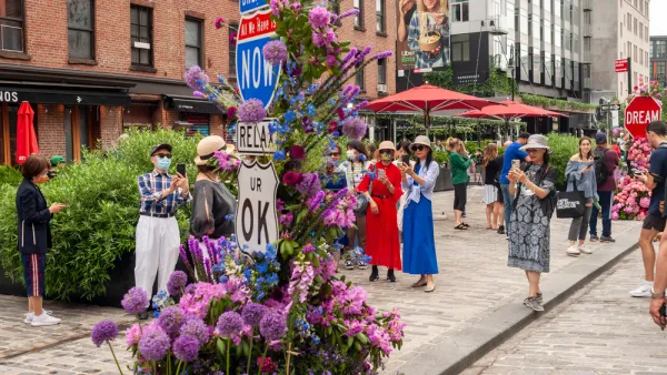
The Tide Has Turned Against Open Streets
Once a promising development for advocates pushing for a less car-centric future in cities, the open streets movement has ceded significant ground to cars since the height of the pandemic.
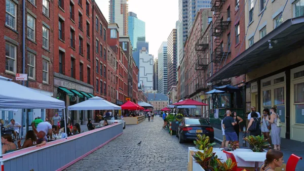
The Next Mayor Will Have to Decide in New York's Post-Pandemic Parking Conflicts
The ongoing political controversy about the priorities of the public realm in New York City is likely to last into the next mayoral administration.
Open Street Abandoned in New York
The New York Department of Transportation is changing the way it plans and manages open streets as political support for the concept wavers.

Planetizen Federal Action Tracker
A weekly monitor of how Trump’s orders and actions are impacting planners and planning in America.

California plans to bury El Niño’s downpour
If the state plays its cards right, it may be able to store a billion acre-feet of El Niño’s water in aquifers.

Chicago breaks ground on $3 billion megadevelopment
The new neighborhood, titled Foundry Park, will one day host 3,700 residences.

Satanic place names
From streams and lakes to valleys and canyons, I mapped more than 1,000 places named after the Devil.

California High-Speed Rail Authority CEO resigns after $600,000 scandal
Under Ian Choudri, the authority used taxpayer dollars to fund first class flights and trips to nightclubs.

Want to study the Missouri River? Soon, you may need unanimous approval from 10 states
Legislation would require 10 governors’ permission to study or build projects moving water outside the basin.

FREE Course: Walkable City 1: Why Walkability?
After describing his path towards focusing on walkability as the essence of good planning, Jeff Speck marches through his five principal reasons for making more walkable places.
Reinventing Malls: Planning Alchemy—Turning Gray Fields Into Gold
The course focuses on the opportunities and imperatives that shape reinvention of mall sites.

City of Rosemead
Rutgers University, Edward J. Bloustein School of Planning and Public Policy
One Hundred Miles
Hunter College, City University of New York (CUNY)
The Architects Foundation
University of Cincinnati Online
City of Cambridge
Montrose County
The Pocatello Development Authority