


Transportation officials in San Francisco are planning to restrict vehicle access on 12 streets around the city to make more room for pedestrians and people on bikes.
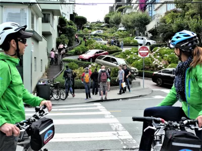
The San Francisco Municipal Transportation Agency (SFMTA) will implement a new "Slow Streets" program, announcing 12 candidate streets for phase 1 of the program today.
"With Muni service temporarily reduced during the COVID-19 health crisis, many San Francisco residents need to walk and take other modes of transportation to make essential trips," according to a Tuesday press release from the SFMTA. "However, sometimes it is difficult to maintain 6’ of social distance on many sidewalks, park paths, and bikeways. This can be especially true when passing lines outside grocery stores and other essential services. Because of this, many pedestrians are choosing to walk in the street, exposing themselves to swiftly moving vehicle traffic."
As noted in the press release, cars aren't actually banned from slow streets. Local vehicle access is permitted, and the legal details of the right of way don't actually change. San Francisco is following in the footsteps of its neighbor in the East Bay, which announced a similar program earlier this month. Since Oakland approved its Slow Streets program, the New York City Council announced legislation that would, if approved, close 75 miles of streets across that city to normal vehicle traffic flows.
FULL STORY: Slow Streets Program to Help With Social Distancing

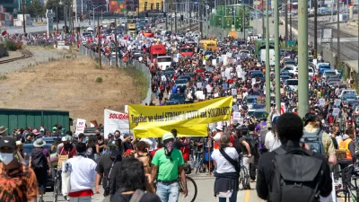
How Oakland Is Fixing its Pandemic Planning Equity Problem
The Oakland Slow Streets program, one of the most controversial developments of the early pandemic, has evolved to become the Essential Places initiative, thanks to new planning practices and a commitment to equity in Oakland, California.

Pandemic Planning Must Reconcile With the Inequities of the Past
The ongoing debate about the role of marginalized communities in the emergency planning programs of the pandemic has now been detailed on the pages of the New York Times.
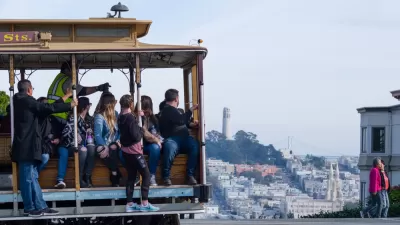
Post-Pandemic Transit Plan Announced in San Francisco
The recently announced post-COVID plan for public transit in San Francisco looks a lot different than the pre-COVID days.

Maui's Vacation Rental Debate Turns Ugly
Verbal attacks, misinformation campaigns and fistfights plague a high-stakes debate to convert thousands of vacation rentals into long-term housing.

Planetizen Federal Action Tracker
A weekly monitor of how Trump’s orders and actions are impacting planners and planning in America.

In Urban Planning, AI Prompting Could be the New Design Thinking
Creativity has long been key to great urban design. What if we see AI as our new creative partner?

Florida Seniors Face Rising Homelessness Risk
High housing costs are pushing more seniors, many of them on a fixed income, into homelessness.

Massachusetts Budget Helps Close MBTA Budget Gap
The budget signed by Gov. Maura Healey includes $470 million in MBTA funding for the next fiscal year.

Milwaukee Launches Vision Zero Plan
Seven years after the city signed its Complete Streets Policy, the city is doubling down on its efforts to eliminate traffic deaths.
Urban Design for Planners 1: Software Tools
This six-course series explores essential urban design concepts using open source software and equips planners with the tools they need to participate fully in the urban design process.
Planning for Universal Design
Learn the tools for implementing Universal Design in planning regulations.
Gallatin County Department of Planning & Community Development
Heyer Gruel & Associates PA
JM Goldson LLC
City of Camden Redevelopment Agency
City of Astoria
Transportation Research & Education Center (TREC) at Portland State University
Jefferson Parish Government
Camden Redevelopment Agency
City of Claremont