


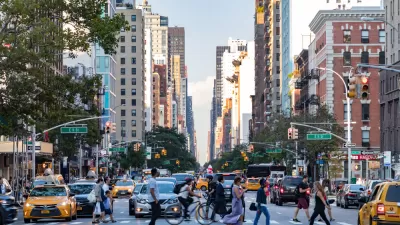
With so few cars on the road, cars and buses are moving faster in New York City. Some drivers are going too fast, though.
Winnie Hu reports:
Traffic at New York City’s busiest bridges and tunnels has plunged nearly 60 percent.
Rush-hour speeds have soared 288 percent on one of the city’s most clogged arteries — the Brooklyn-Queens Expressway — to 52 miles per hour from 13 m.p.h.
According to Hu, the difference on New York City streets during coronavirus stay-at-home orders can also be measured in terms of bus speeds: "The average weekday bus speed rose 7 percent to 8.7 miles per hour from 8.1 miles per hour before the outbreak, according to the transportation authority."
While Hu applies the lessons of New York's current lack of traffic to inform the discussion about the congestion pricing plan proposed for parts of Manhattan, other media observers in the city are using the new conditions to raise awareness about traffic safety enforcement.
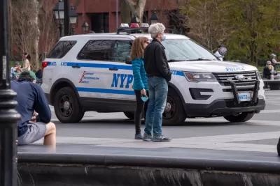
Gersh Kuntzman has been providing regular updates on the city's "speeding epidemic," including an article from April 5 reporting a 12 percent increase in speed violations issued by the city's speed cameras. "The 12-plus-percent increase in tickets come as the total number of vehicle miles traveled in the five boroughs is down by 71 percent from that same January baseline, according to data from StreetLight." Kuntzman documented some of the speeding in a video shared on Vimeo.
They're Speeding! from Gersh on Vimeo.
A follow up article by Kuntzman from April 8 notes that New York Police Department officers wrote fewer speeding tickets in March, even as the city's cameras catch more violators: "In March, NYPD officers wrote 346 speeding tickets per day, down 36 percent since January. By comparison, speed cameras caught 13,533 scofflaws on the average day in March, up 20 percent from the January average."
FULL STORY: N.Y.’s Changed Streets: In One Spot, Traffic Speeds Are Up 288%

New York’s Deadliest Neighborhoods for Pedestrians
Pedestrian deaths rose last year, but remain below pre-2020 levels.
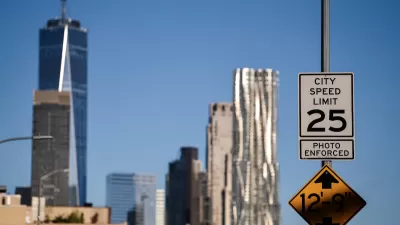
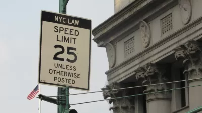
NYC Legislators Continue Fight to Set Own Speed Limits
Advocates say lower speed limits save lives and prevent fatal crashes on busy city streets.
New York City To Test Speed Limiting Tech on City Vehicles
Advocates hope the city’s plan to install speed governors on part of its municipal fleet will prompt other cities and government agencies to follow suit.

Planetizen Federal Action Tracker
A weekly monitor of how Trump’s orders and actions are impacting planners and planning in America.

Congressman Proposes Bill to Rename DC Metro “Trump Train”
The Make Autorail Great Again Act would withhold federal funding to the system until the Washington Metropolitan Area Transit Authority (WMATA), rebrands as the Washington Metropolitan Authority for Greater Access (WMAGA).

The Simple Legislative Tool Transforming Vacant Downtowns
In California, Michigan and Georgia, an easy win is bringing dollars — and delight — back to city centers.

Albuquerque’s Microtransit: A Planner’s Answer to Food Access Gaps
New microtransit vans in Albuquerque aim to close food access gaps by linking low-income areas to grocery stores, cutting travel times by 30 percent and offering planners a scalable model for equity-focused transit.

This City Will Pay You to Meet Your Neighbors
A North Kansas City grant program offers up to $400 for residents to throw neighborhood block parties.

Commentary: Our Silence Will Not Protect Us
Keeping our heads down and our language inoffensive is not the right response to the times we’re in. Solidarity and courage is.
Urban Design for Planners 1: Software Tools
This six-course series explores essential urban design concepts using open source software and equips planners with the tools they need to participate fully in the urban design process.
Planning for Universal Design
Learn the tools for implementing Universal Design in planning regulations.
Smith Gee Studio
City of Charlotte
City of Camden Redevelopment Agency
City of Astoria
Transportation Research & Education Center (TREC) at Portland State University
US High Speed Rail Association
City of Camden Redevelopment Agency
Municipality of Princeton (NJ)