


The CityLab team has created a new metric to measure the U.S. cities where people are most likely to be car free.
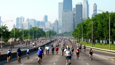
Richard Florida and Charlotta Mellander created a new Metro Car-Free Index that measures the U.S. cities where people go car free in the largest numbers.
According to Florida, who writes to promote the index on CityLab, the index measures:
- The share of households that don’t have access to their own vehicle.
- The share of commuters who take transit to work.
- The share of commuters who bike to work.
- The share of commuters who walk to work.
Florida applies the index as an indicator of where it's easiest to go car free, listed by metro size. The duo's analysis also included a basic correlation analysis to identify the key characteristics associated with car-free metros. "The popularity of living without a car is only weakly related to population and density (with correlations of around .2)," according to Florida.
"Going car-free is much more closely related to America’s economic and political divides," adds Florida, so demographic factors like educational attainment, political affiliation. Florida concludes by noting another key factor in determining a car-free lifestyle: "Ironically, despite the expense of owning a car, going carless in America often requires having money. It helps if you can afford living close to where you work or near good transit, or in a walkable neighborhood with most of life’s necessities close by."
FULL STORY: The Best and Worst U.S. Places to Live Car-Free


Fewer New Yorkers Riding Bikes
A recent report presents evidence that fewer New Yorkers are choosing bikes as an alternative form of transportation.

The Cost of Driving Increasingly Out of Reach in the U.S.
New research stresses the importance of socioeconomic differences in U.S. transportation trends.
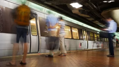
Report: D.C. Area Commuters Driving Alone Less
With all the bad news about plummeting ridership as the D.C. Metro transit system has struggled to deal with maintenance issues, a new report indicates that regional commuters are still driving alone less.

Maui's Vacation Rental Debate Turns Ugly
Verbal attacks, misinformation campaigns and fistfights plague a high-stakes debate to convert thousands of vacation rentals into long-term housing.

Planetizen Federal Action Tracker
A weekly monitor of how Trump’s orders and actions are impacting planners and planning in America.

San Francisco Suspends Traffic Calming Amidst Record Deaths
Citing “a challenging fiscal landscape,” the city will cease the program on the heels of 42 traffic deaths, including 24 pedestrians.

Defunct Pittsburgh Power Plant to Become Residential Tower
A decommissioned steam heat plant will be redeveloped into almost 100 affordable housing units.

Trump Prompts Restructuring of Transportation Research Board in “Unprecedented Overreach”
The TRB has eliminated more than half of its committees including those focused on climate, equity, and cities.

Amtrak Rolls Out New Orleans to Alabama “Mardi Gras” Train
The new service will operate morning and evening departures between Mobile and New Orleans.
Urban Design for Planners 1: Software Tools
This six-course series explores essential urban design concepts using open source software and equips planners with the tools they need to participate fully in the urban design process.
Planning for Universal Design
Learn the tools for implementing Universal Design in planning regulations.
Heyer Gruel & Associates PA
JM Goldson LLC
Custer County Colorado
City of Camden Redevelopment Agency
City of Astoria
Transportation Research & Education Center (TREC) at Portland State University
Jefferson Parish Government
Camden Redevelopment Agency
City of Claremont