


A new interactive tool called Transit Insights offers access to the local trends of transit ridership.

TransitCenter announced the release of a new Transit Insights interactive tool that allows for comparisons of ridership figures between transit agencies.
According to the introduction transit ridership is often presented in the media a national trend. "[B]ut each transit agency has its own ridership story."
The new tool allows for more than ridership comparisons. Operations considerations like vehicle revenue miles, operating expenses, minimum headways, and average fares are also included. The user can also view neighborhood level demographic data for additional context.
More background on Transit Insights is also available in a blog post published on April 23 to promote the release of the new tool.
FULL STORY: Introducing Transit Insights, a Visual Tool to Track Transit Ridership in American Cities


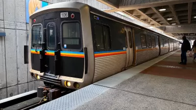
This Toronto Suburb Has More Bus Riders Than Columbus, Ohio
Brampton, Ontario used gradual improvements in service to prove that if you build it, they will ride.
Atlanta City Leaders Call on MARTA to Expand Weekend Service
The city is set to host multiple major sporting events in the next several years, prompting calls for expanded transit service on weekends and to popular areas.
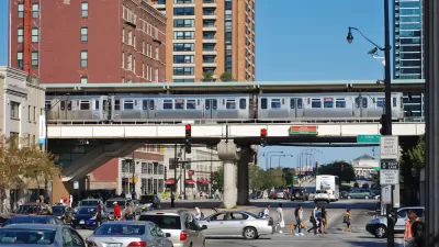
Chicago Transit Increasing Rail Service to Pre-Pandemic Levels
The Chicago Transit Authority is close to returning both rail and bus service to pre-pandemic schedules, with some adjustments for new travel demand.

Maui's Vacation Rental Debate Turns Ugly
Verbal attacks, misinformation campaigns and fistfights plague a high-stakes debate to convert thousands of vacation rentals into long-term housing.

Planetizen Federal Action Tracker
A weekly monitor of how Trump’s orders and actions are impacting planners and planning in America.

San Francisco Suspends Traffic Calming Amidst Record Deaths
Citing “a challenging fiscal landscape,” the city will cease the program on the heels of 42 traffic deaths, including 24 pedestrians.

Defunct Pittsburgh Power Plant to Become Residential Tower
A decommissioned steam heat plant will be redeveloped into almost 100 affordable housing units.

Trump Prompts Restructuring of Transportation Research Board in “Unprecedented Overreach”
The TRB has eliminated more than half of its committees including those focused on climate, equity, and cities.

Amtrak Rolls Out New Orleans to Alabama “Mardi Gras” Train
The new service will operate morning and evening departures between Mobile and New Orleans.
Urban Design for Planners 1: Software Tools
This six-course series explores essential urban design concepts using open source software and equips planners with the tools they need to participate fully in the urban design process.
Planning for Universal Design
Learn the tools for implementing Universal Design in planning regulations.
Heyer Gruel & Associates PA
JM Goldson LLC
Custer County Colorado
City of Camden Redevelopment Agency
City of Astoria
Transportation Research & Education Center (TREC) at Portland State University
Jefferson Parish Government
Camden Redevelopment Agency
City of Claremont