Interactive Tools

Digital Tool ‘Gamifies’ Planning Decisions
Interactive platforms help stakeholders visualize and understand the challenges faced by planners in distributing new housing construction, building infrastructure, and other projects.

Measuring Job Densification Trends in U.S. Metropolitan Areas
A new report details the trend of jobs densification in U.S. metropolitan areas between 2004 and 2015, finding a few large metropolitan areas leading an overall increase in jobs density. Still, many areas are seeing jobs disperse around the region.
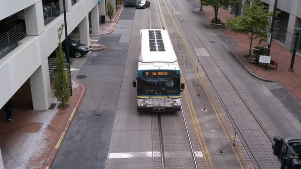
Compare Transit Ridership in U.S. Cities
A new interactive tool called Transit Insights offers access to the local trends of transit ridership.
A New Online Tool for Charting a Path to Sustainability
A new interactive research tool will make it easier for communities to build sustainability into their urban development plans.
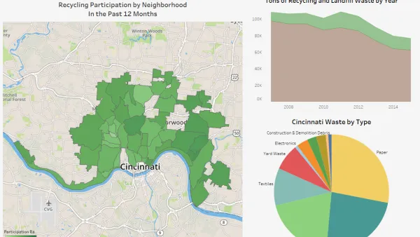
Who Recycles in Cincinnati?
A new CincyInsights dashboard shows recycling participation rates all over the city.

New Web Based Tool Helps to 'Design Your Town'
A new tool produced by the Regional Plan Association, the Orange County Department of Planning, the Pace University Land Use Law Center, and the Lincoln Institute of Land Policy offers a starting point for people with big ideas.

Friday Fun: An Interactive Tool That Explains Floor Area Ratio
The Center for Urban Pedagogy's latest tool provides an easy and fun way to explain a difficult but critical concept: floor area ratio.

A Real-Time Map of Global Air Pollution
A quick look at a real-time map of air pollution around the world shows how much healthier the air in the United States is than in China.
Toy or Tool: Urban Planning as Community Board Game
Writing in the Los Angeles Times, Bob Pool profiles a project by Urban Planner James Rojas, who's constructed an 80-square-foot scale model of Long Beach that residents and business owners can tinker with to illustrate their own vision of the city.
Interactive Map Documents Road Quality
A new interactive map shows wear-and-tear on city roads, color-coding where work needs to be done and where smooth rides can be found.

FREE Course: Walkable City 1: Why Walkability?
After describing his path towards focusing on walkability as the essence of good planning, Jeff Speck marches through his five principal reasons for making more walkable places.
Reinventing Malls: Planning Alchemy—Turning Gray Fields Into Gold
The course focuses on the opportunities and imperatives that shape reinvention of mall sites.

KFH Group Inc.
Greater Baltimore Committee
Eagle County Government
The Architects Foundation
University of Cincinnati Online
The Pocatello Development Authority
The Urban Renewal Agency of the City of Pocatello