


A quick look at a real-time map of air pollution around the world shows how much healthier the air in the United States is than in China.
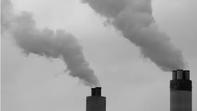
Linda Poon shares news about a new interactive tool that tracks air pollution in cities around the world in real time.
"The map comes from Beijing-based environmental group Air Quality Index China, which worked with environmental protection agencies in more than 70 countries. It continuously collects data from more than 5,900 feeds coming from more than 8,000 air-quality-monitoring stations in nearly a thousand cities. Only feeds from government agencies are used, according to the website (“no DIY or amateur monitoring stations data” here). The map refreshes every 15 minutes."
Using the data available on the map, Poon points out the huge disparity in air quality between China and the United States, for instance, as well as more detail about air quality in the United States. For instance, at the time of Poon's research of the tool, Buffalo, New York was exhibiting the worst air quality in the country.
FULL STORY: Mapping the World's Air Pollution in Real Time

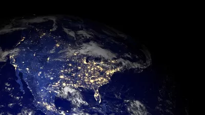
Mapping the Trends in Pollution
Good news for the United States is found in a recent series of maps by NASA. Air pollution has significantly improved around the country.
Interactive Map Documents Road Quality
A new interactive map shows wear-and-tear on city roads, color-coding where work needs to be done and where smooth rides can be found.

Interactive Map Reveals America's “Shade Deserts”
Launched by UCLA and American Forests to combat heat-related deaths, the tool maps the shade infrastructure for over 360 U.S. cities.

Planetizen Federal Action Tracker
A weekly monitor of how Trump’s orders and actions are impacting planners and planning in America.

Maui's Vacation Rental Debate Turns Ugly
Verbal attacks, misinformation campaigns and fistfights plague a high-stakes debate to convert thousands of vacation rentals into long-term housing.

San Francisco Suspends Traffic Calming Amidst Record Deaths
Citing “a challenging fiscal landscape,” the city will cease the program on the heels of 42 traffic deaths, including 24 pedestrians.

Trump Prompts Restructuring of Transportation Research Board in “Unprecedented Overreach”
The TRB has eliminated more than half of its committees including those focused on climate, equity, and cities.

Amtrak Rolls Out New Orleans to Alabama “Mardi Gras” Train
The new service will operate morning and evening departures between Mobile and New Orleans.

The Subversive Car-Free Guide to Trump's Great American Road Trip
Car-free ways to access Chicagoland’s best tourist attractions.
Urban Design for Planners 1: Software Tools
This six-course series explores essential urban design concepts using open source software and equips planners with the tools they need to participate fully in the urban design process.
Planning for Universal Design
Learn the tools for implementing Universal Design in planning regulations.
Heyer Gruel & Associates PA
JM Goldson LLC
Custer County Colorado
City of Camden Redevelopment Agency
City of Astoria
Transportation Research & Education Center (TREC) at Portland State University
Jefferson Parish Government
Camden Redevelopment Agency
City of Claremont